Approach
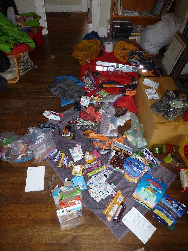
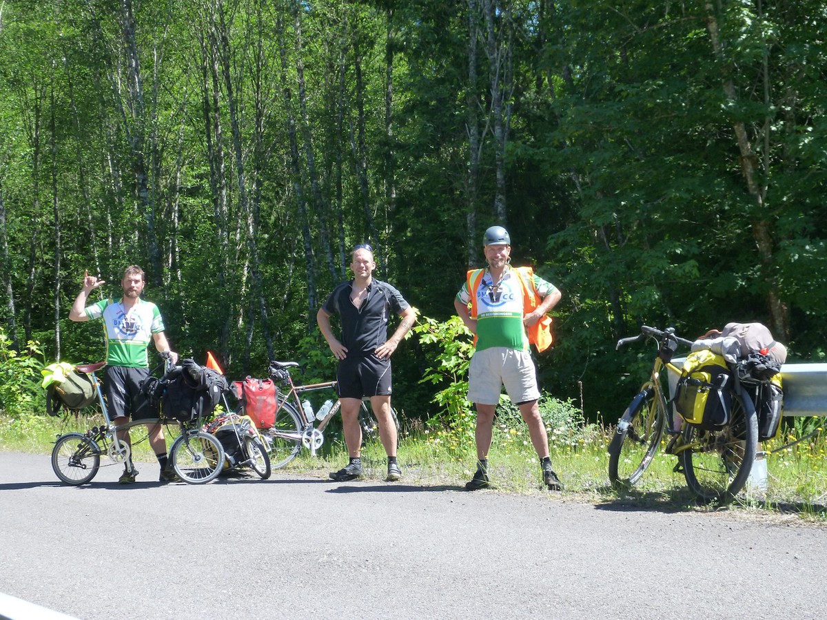
I went on a bike tour mountaineering trip with my new friends Terry and Kyle to Mt. Jefferson. I've been itching to climb something more technical and this fit the bill, along with the added adventure/coolness of biking there & back. I spent at least half a day going over food lists, packing and repacking gear and food. Perhaps it was training for Denali in two years. The rules stated we had to carry everything for the climb with us, no using outside help for schelping food or supplies. [This rule was slightly bent when we accepted cheese, water and maybe a spare 16" tire from Terry and Kyle's ladies].
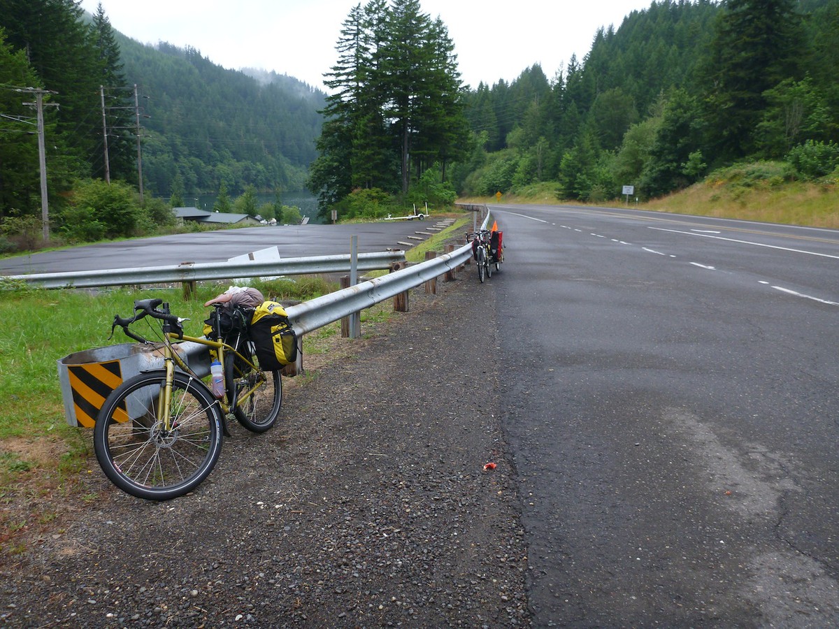
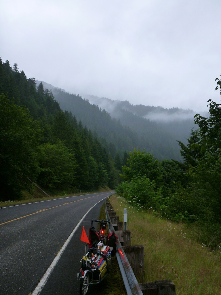
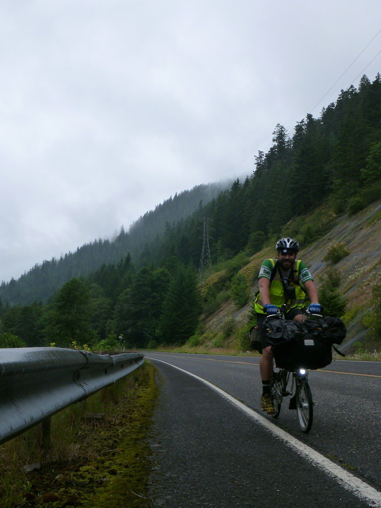
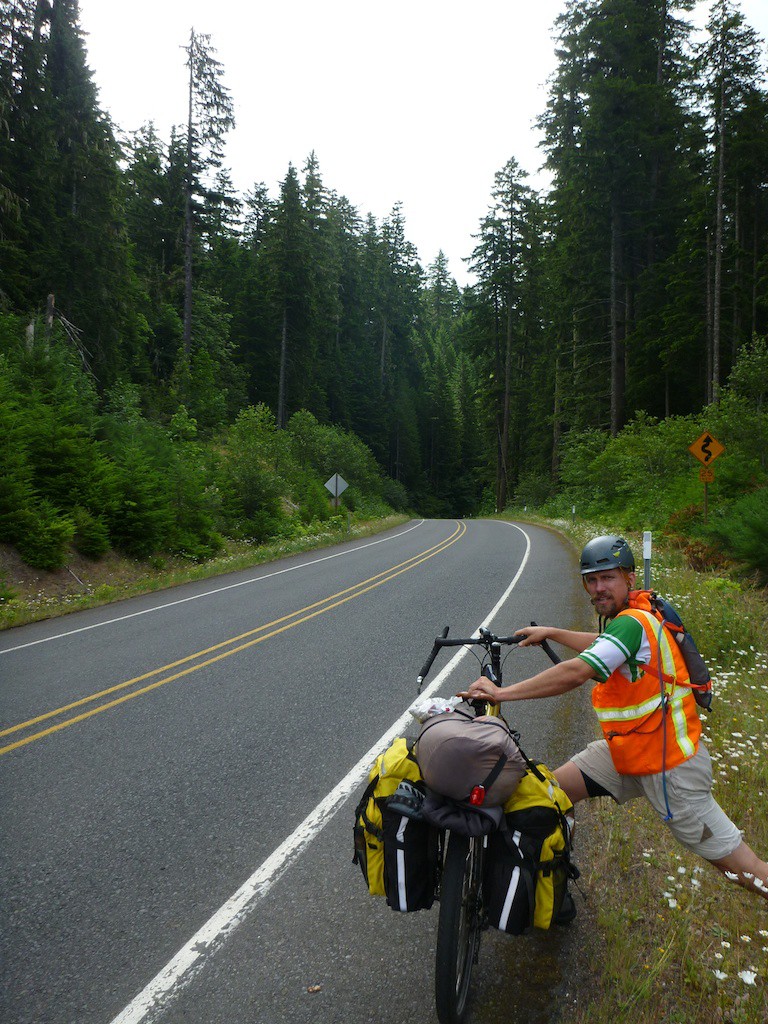
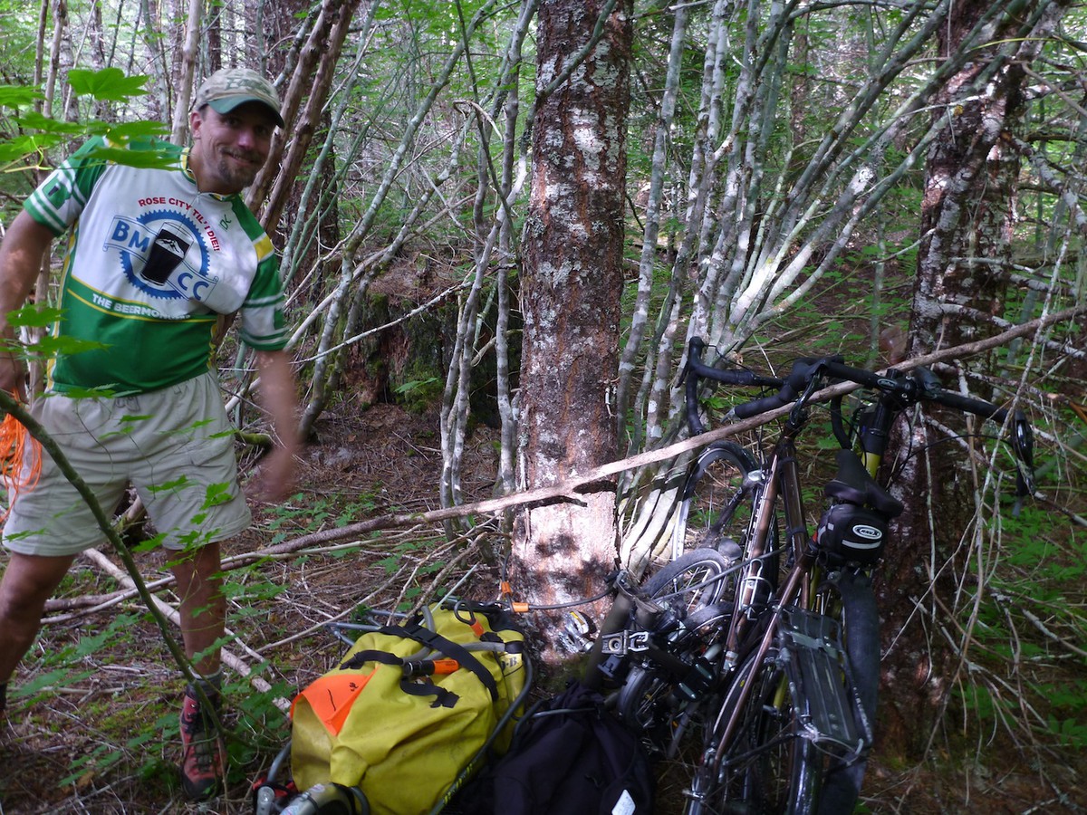
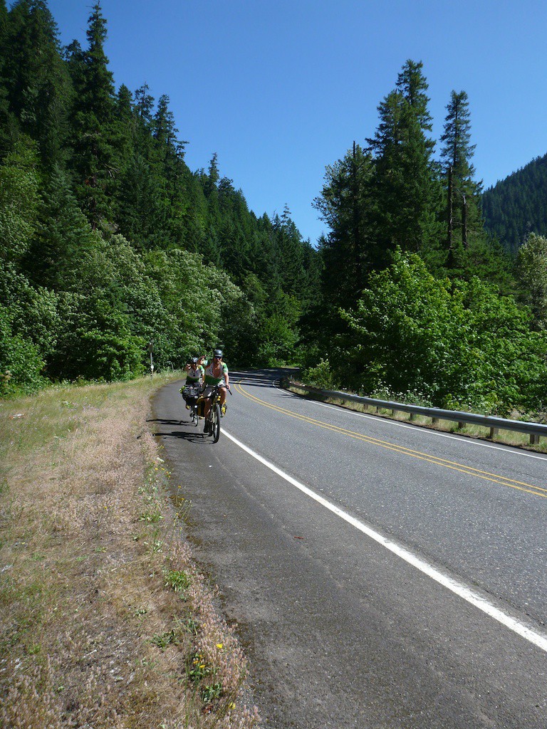
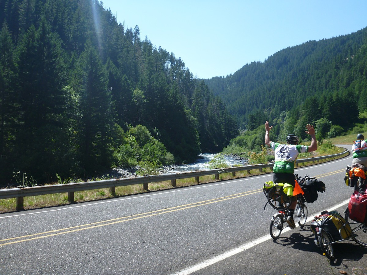
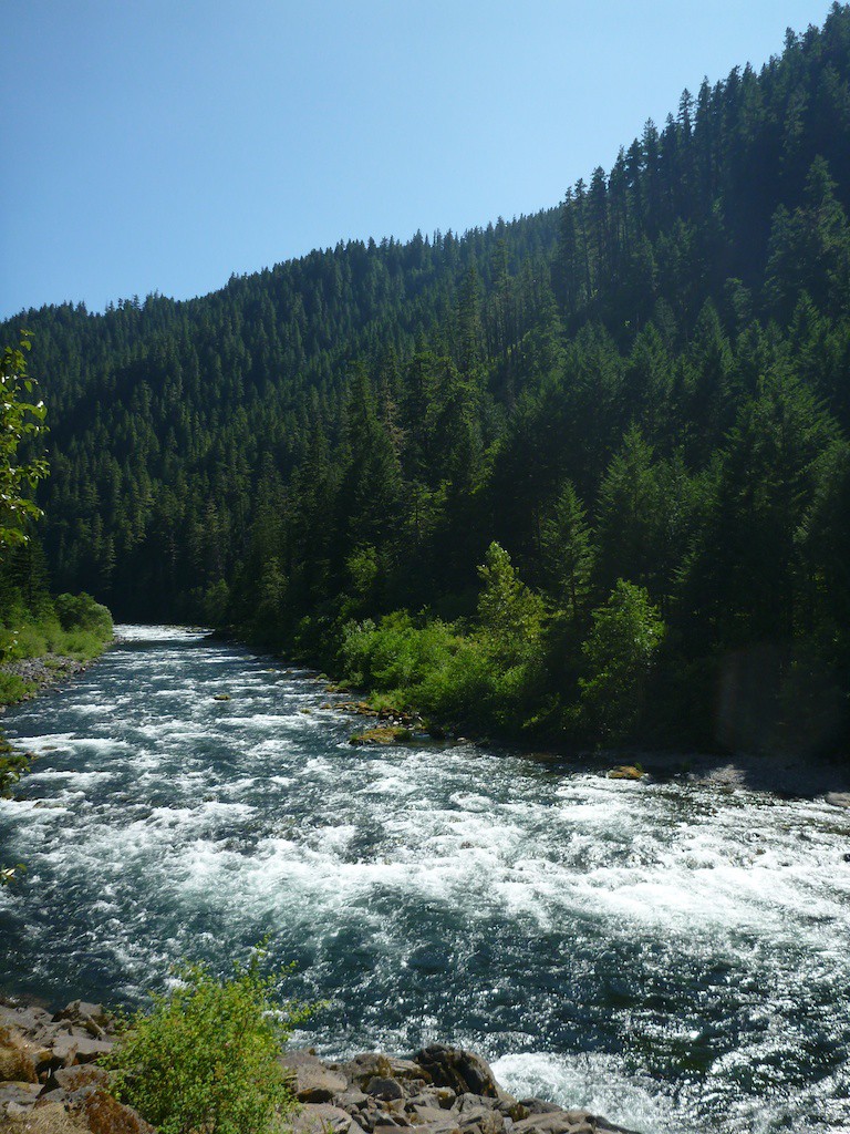
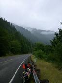
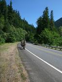
We delayed our start by 12 hours to avoid the un-Oregon-like thunder and lightning, so instead of a 6pm shoveoff Thursday, we got a 4am stumbleoff on Friday. We stopped for a while on the Springwater to wait as the storms passed us to the North. We then booked it the ~90 miles to the trailhead. The route was quite pretty, going along the Clackamas (and over a few more passes than we liked), ending up at a 8 mile downhill to the turnoff for the trailhead.
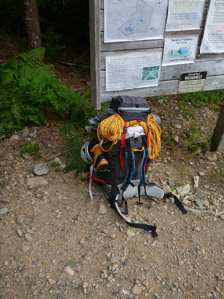
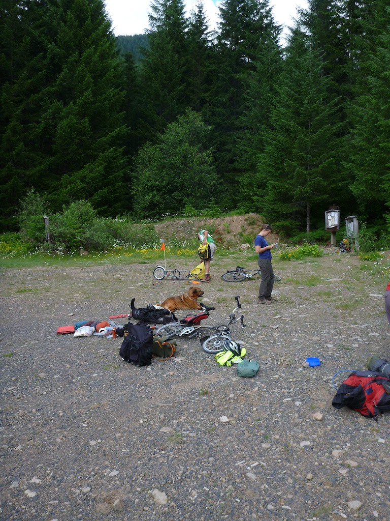
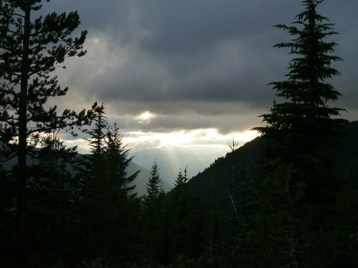
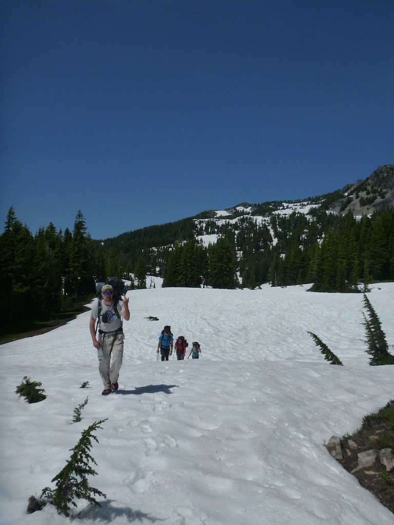
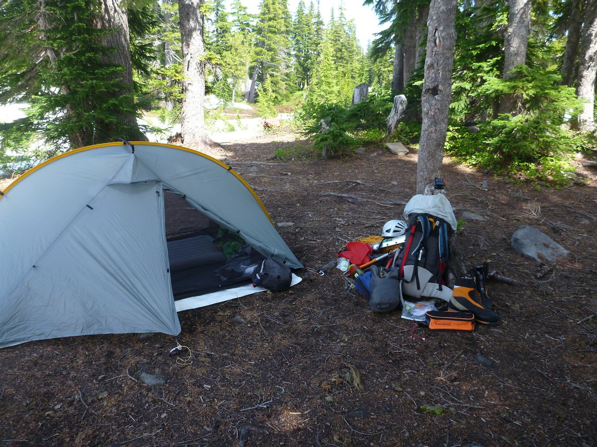
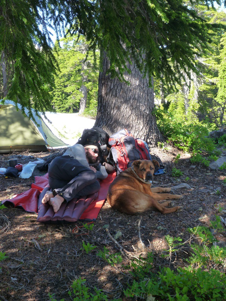
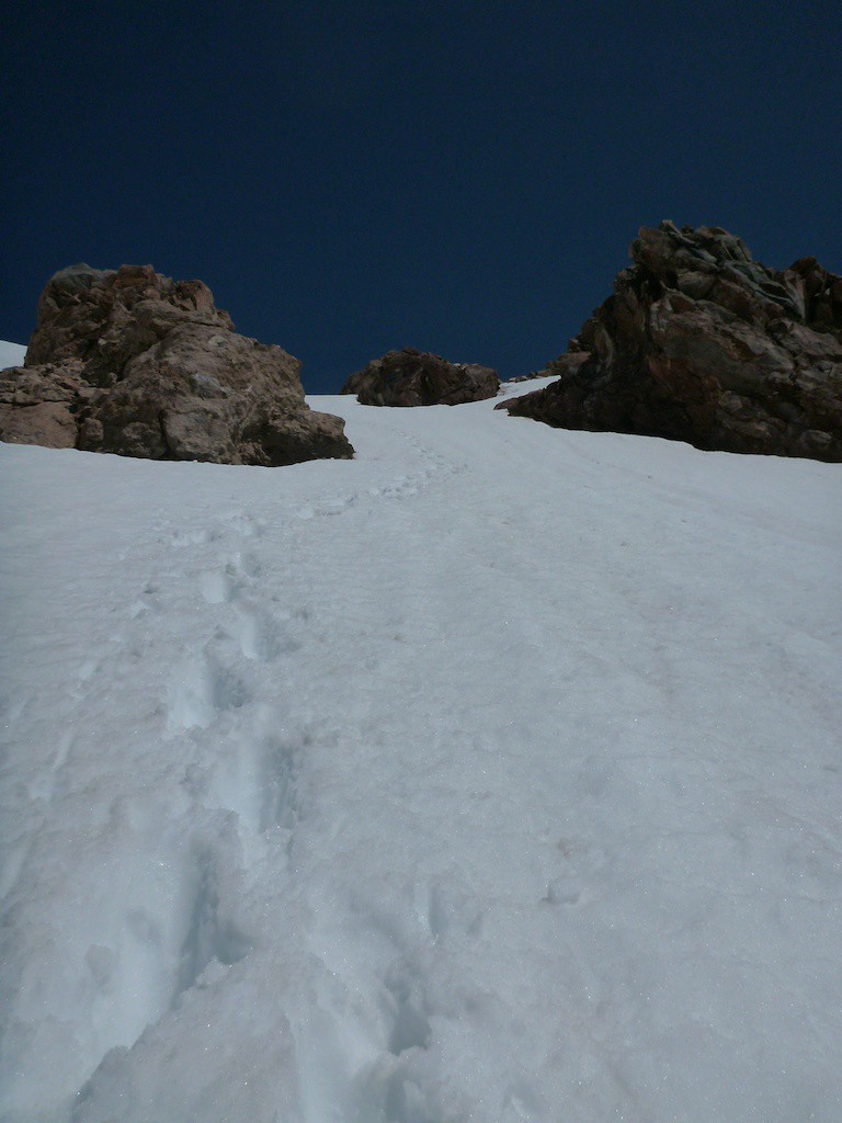
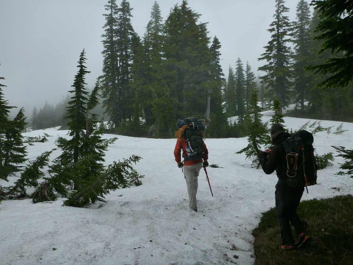
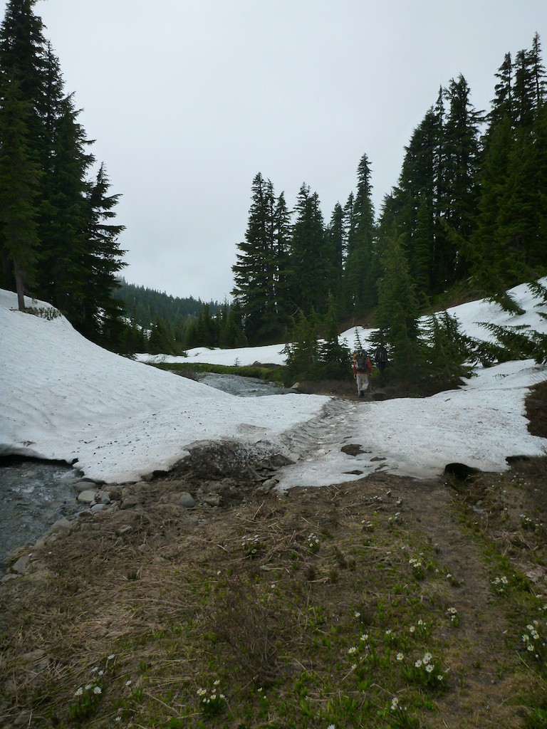
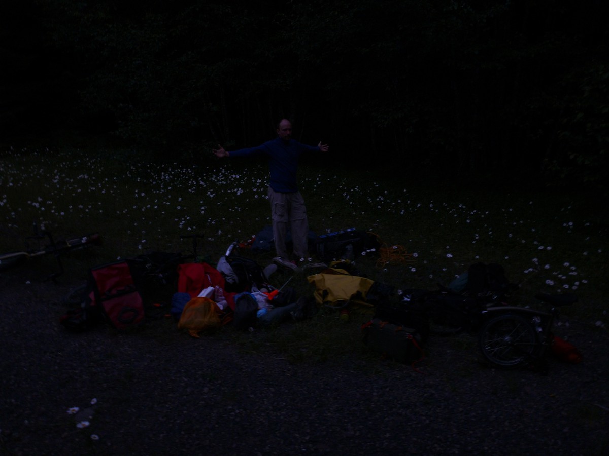
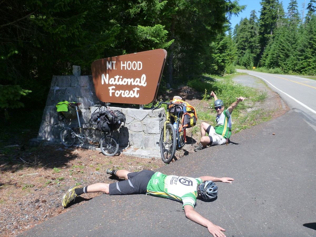
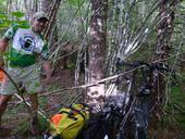
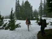
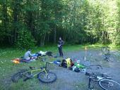
After hiding our food and bikes out in the forest (away from gnomes and yeti), we shouldered our 50 pound packs and hustled up into the forest for base camp. The plan was to make it to the lakes at Jeff Park, but we fell a few miles short when it got dark and we had lost the trail under six feet of snow.
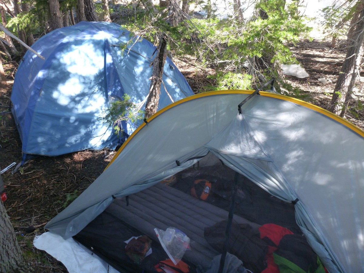
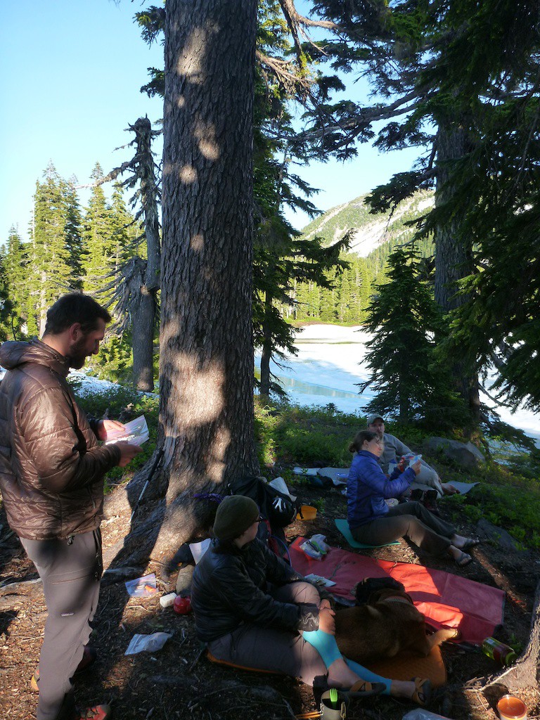
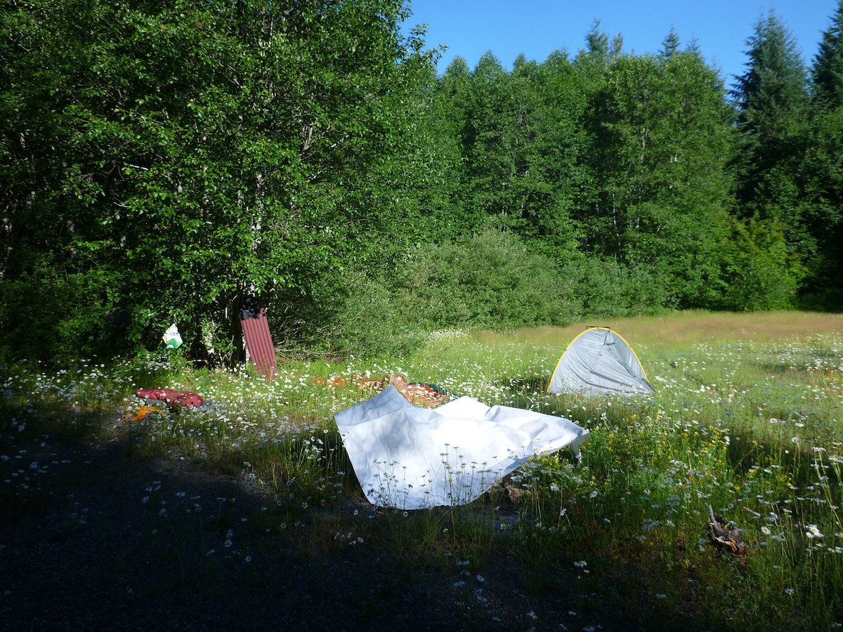
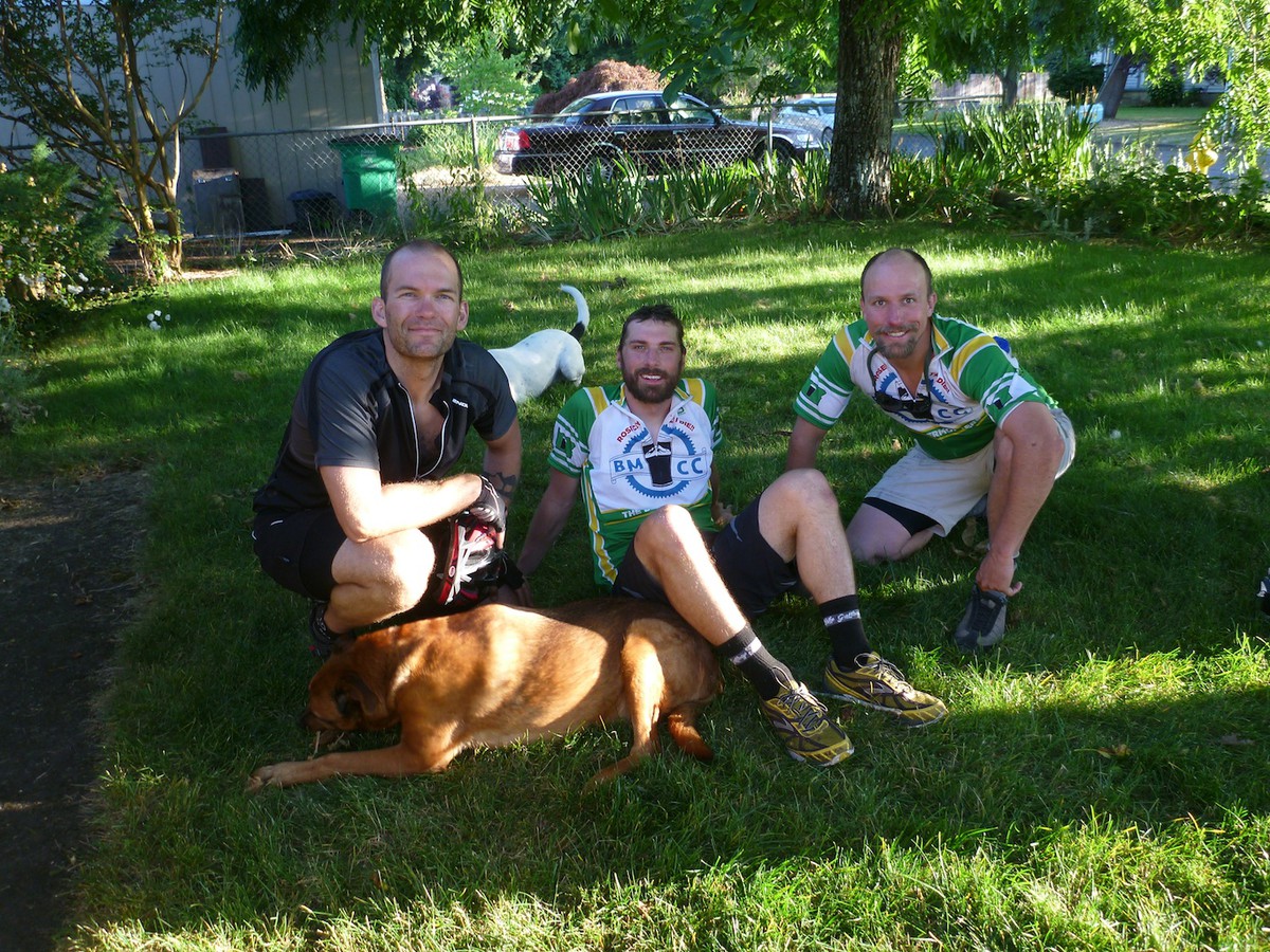
On Saturday we slept in and moseyed our way over to the lakes to make a proper camp. We had time to eat our tasty dehydrated meals, trading Trader Joes carmel corn for cheese. Kyle, having ridden on his tricksy 16" folding bike, decided to not climb as he was spent from the bike ride, which left Terry being stuck with me for the climb. Luckily he was a good sport and was game.

Climb
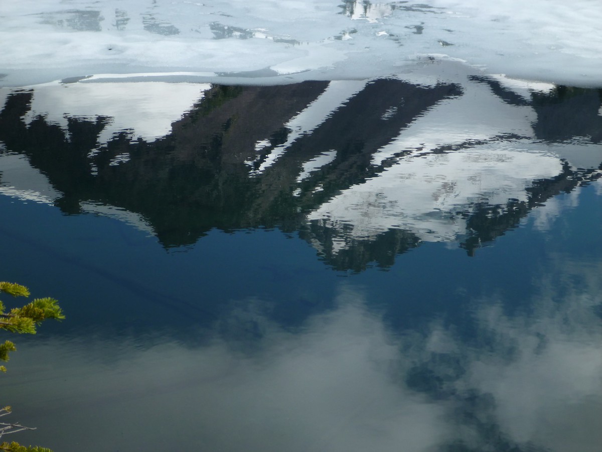
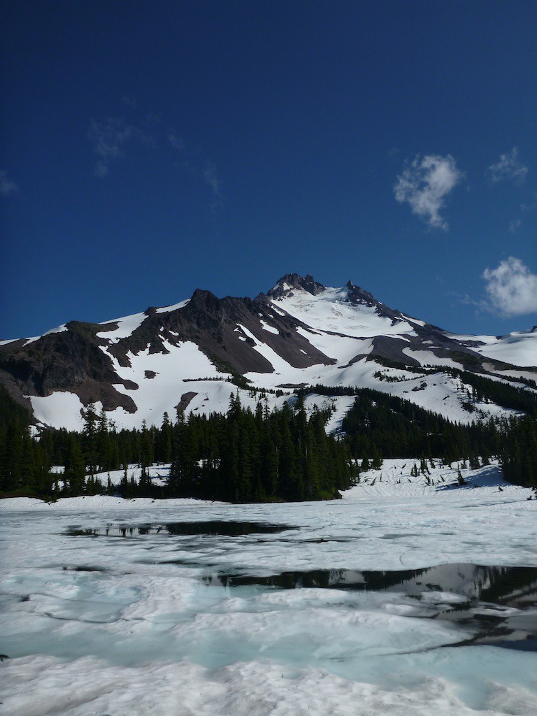
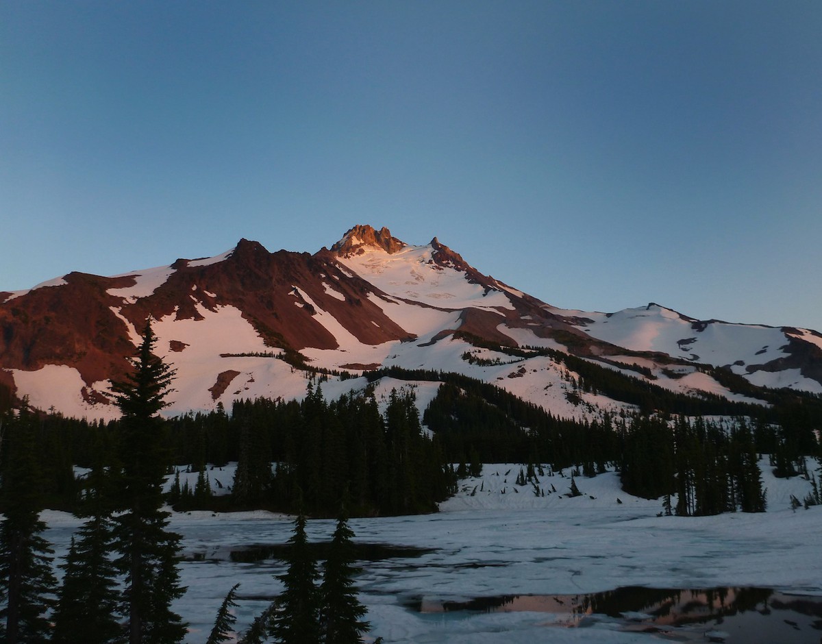
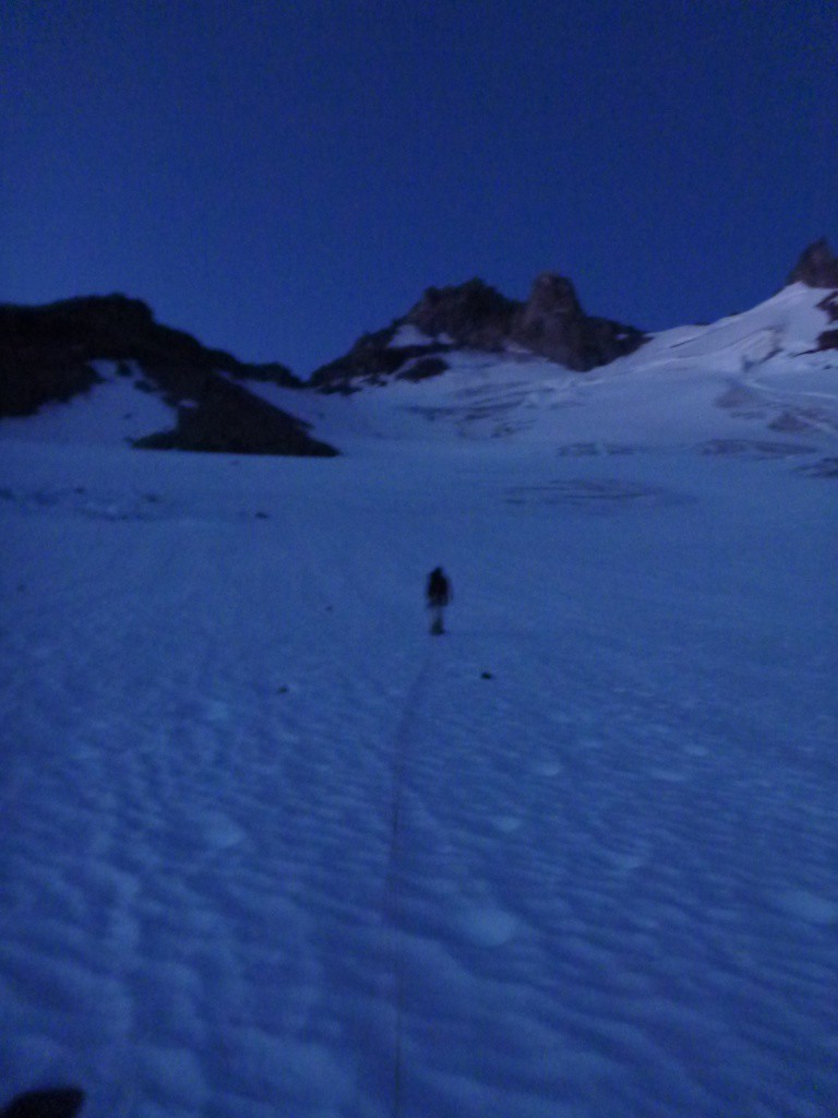
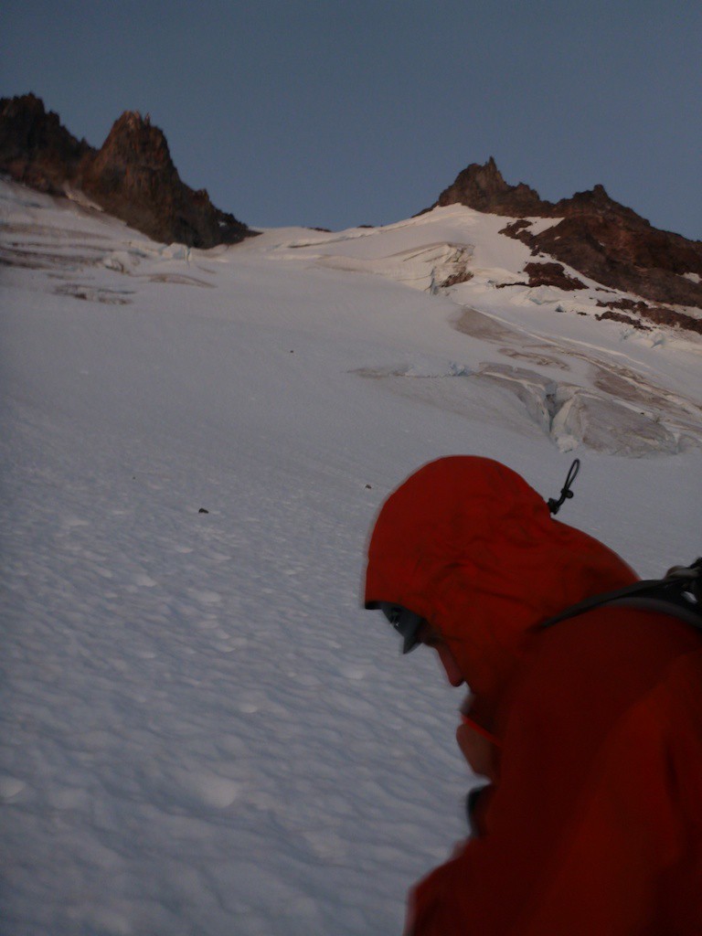
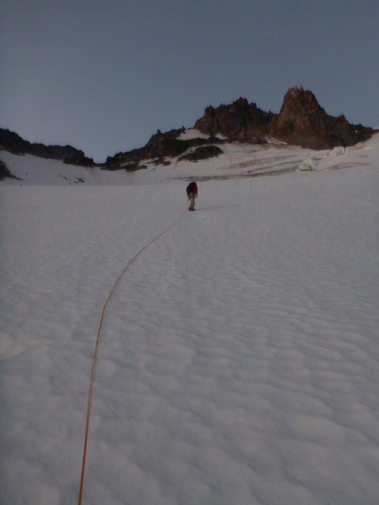
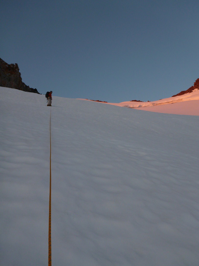
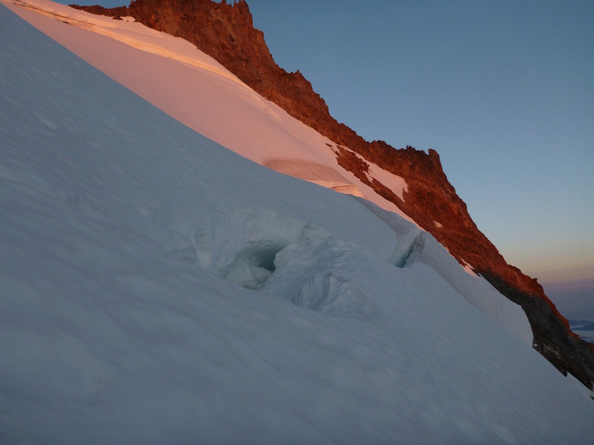
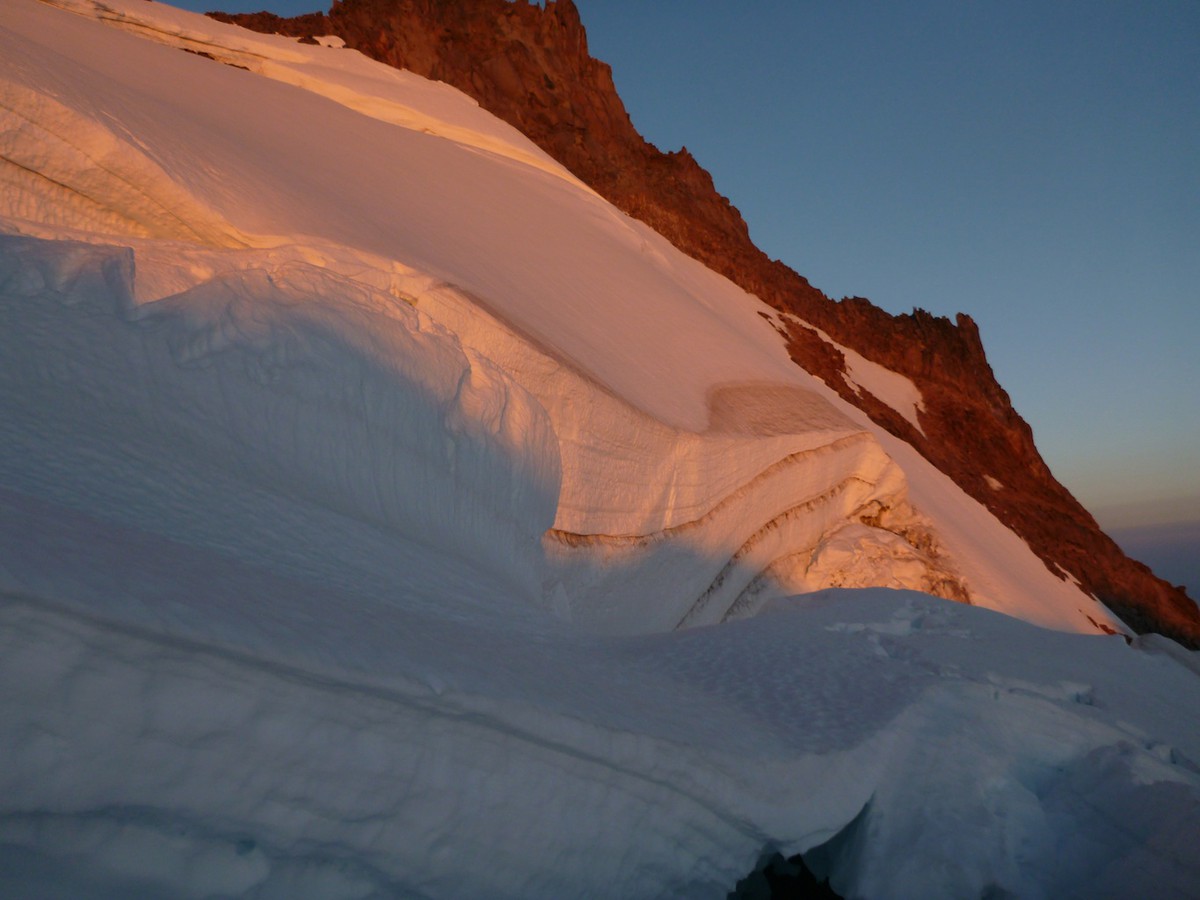
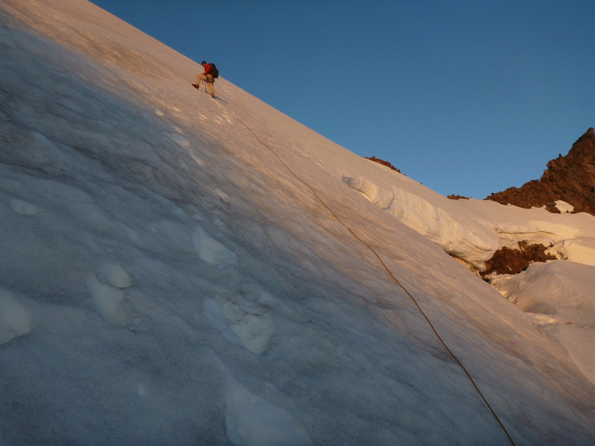
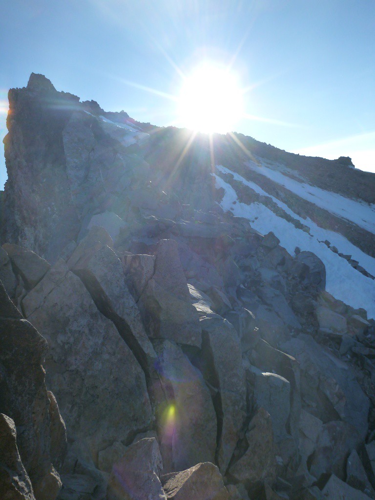
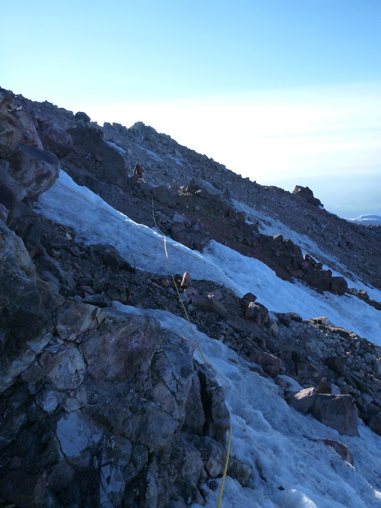
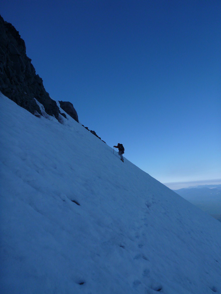
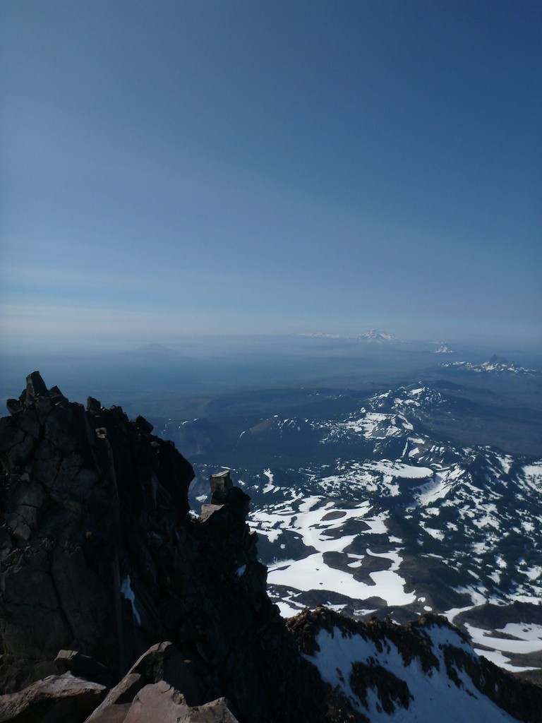
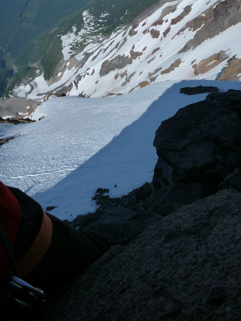
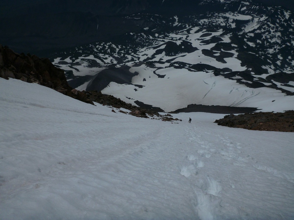
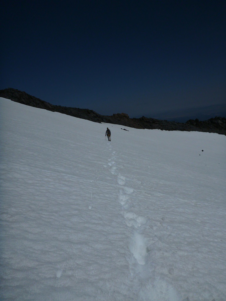
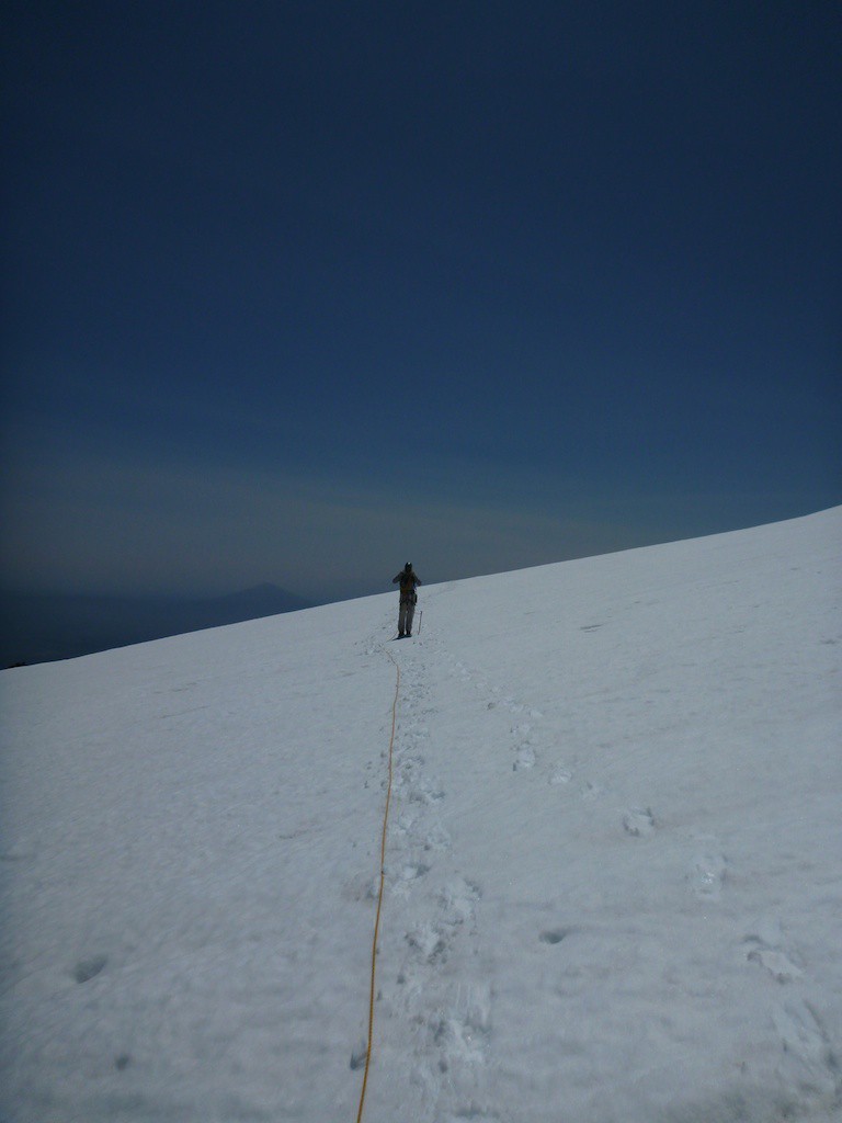
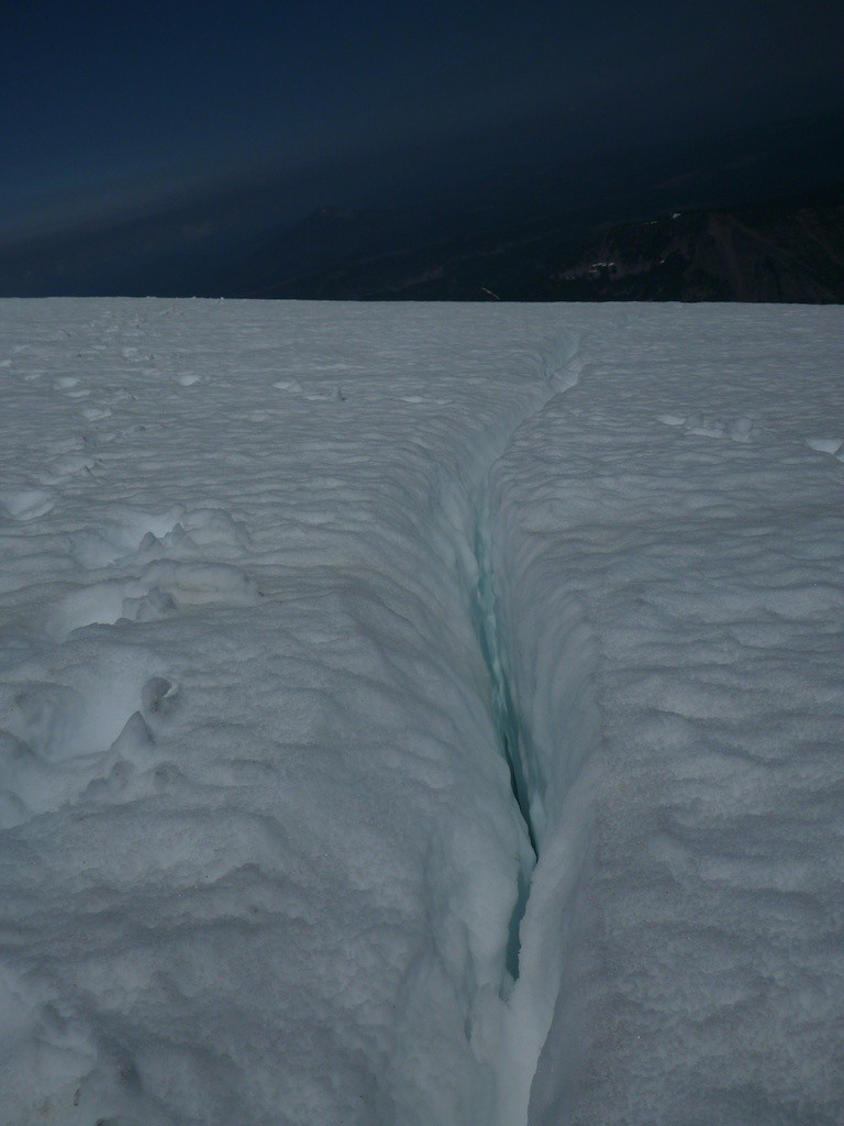
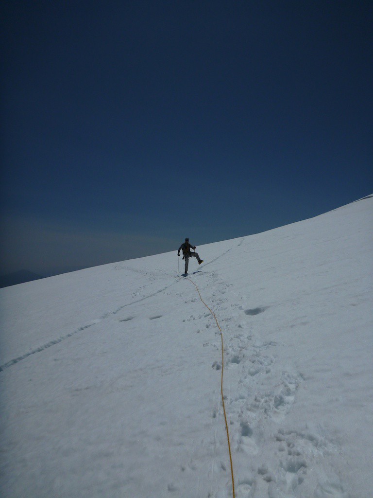
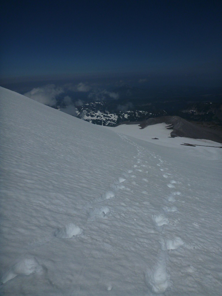
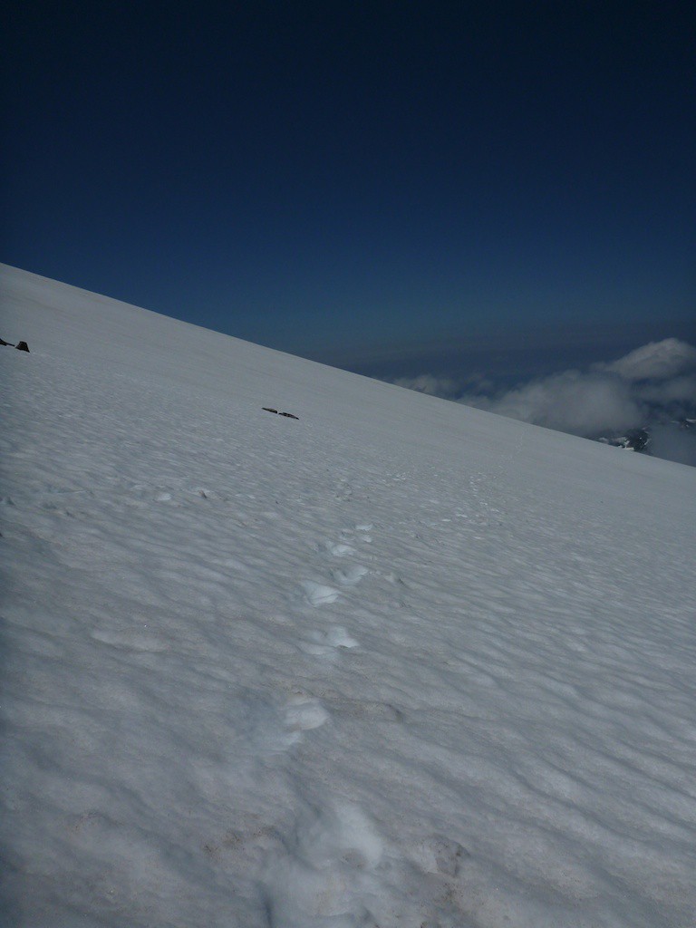
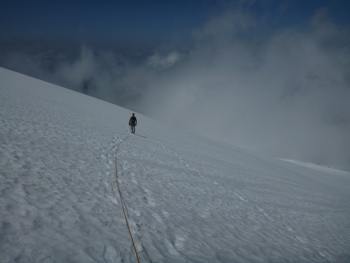
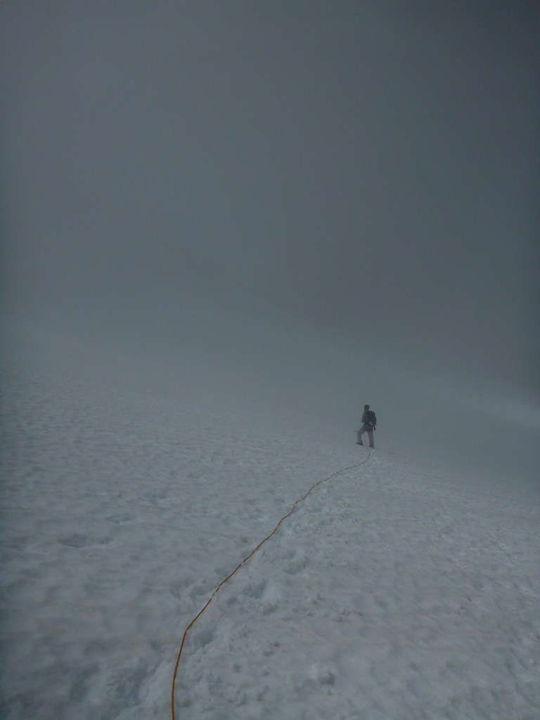
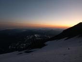
We got up at 2am to ensure we got to the bergshrunds before it was too warm and the bridges melted out. There were a few routefinding issues and we went through extra scree fields but we got to the main glacier right in time for the sky to lighten up so we could avoid the crevasses. It was perfect timing.
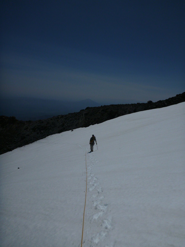
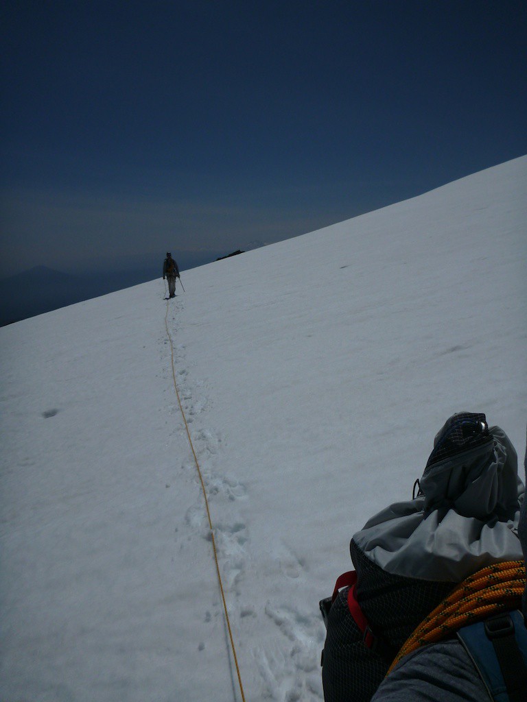
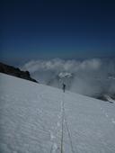
The snow was in great condition and we breezed up through both of the bergshrunds, lining up with what we thought were climbers tracks but were really yeti steps. Each step was at least twice as long in stride as ours, which logic dictates is the illusive Northwest Bigfoot. No joke, we took two steps for each of these footprints, clove print and all, perhaps they yeti was wearing cloven hoof shoes to throw people off.

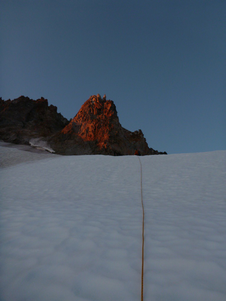
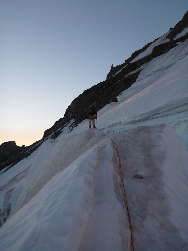
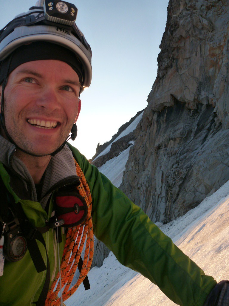
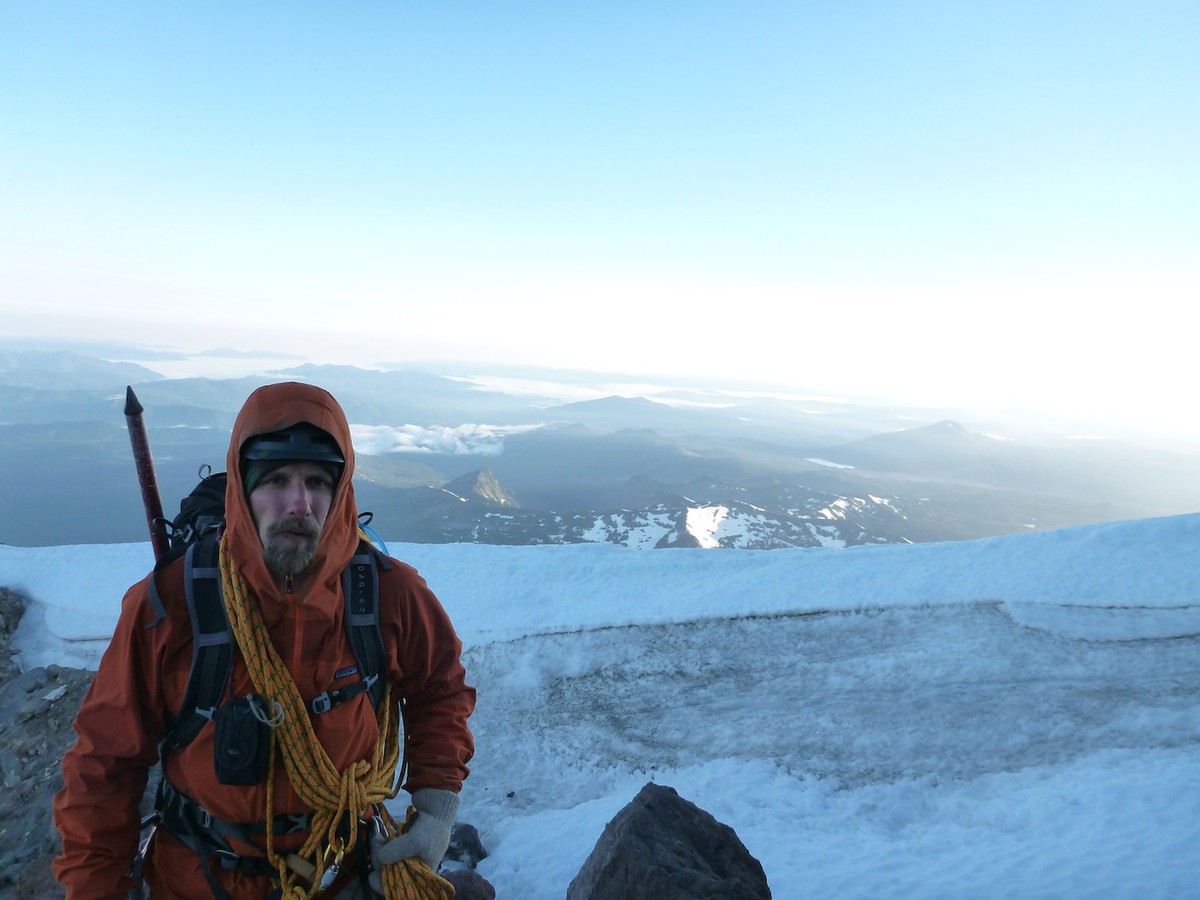
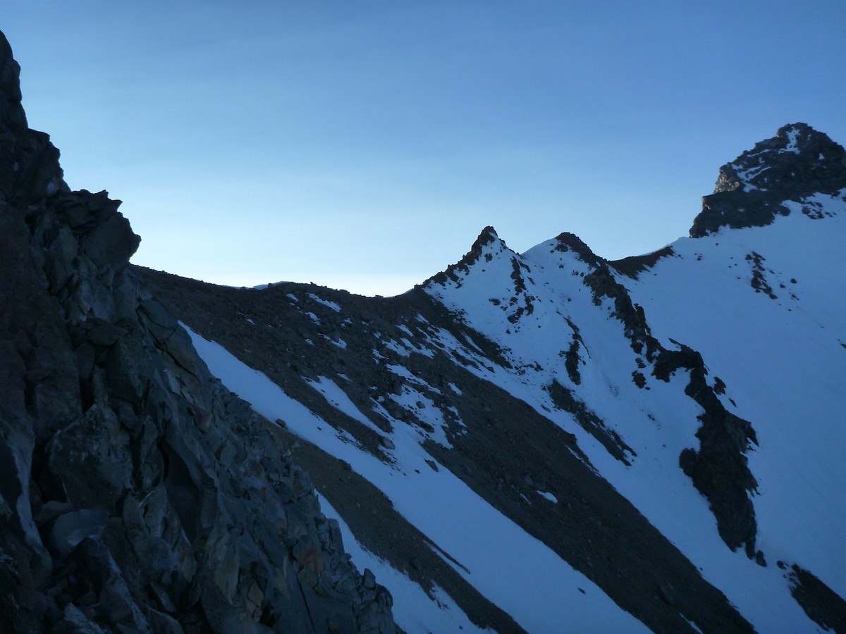
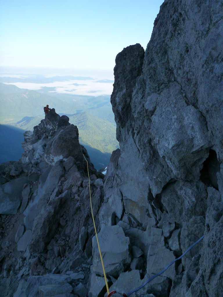
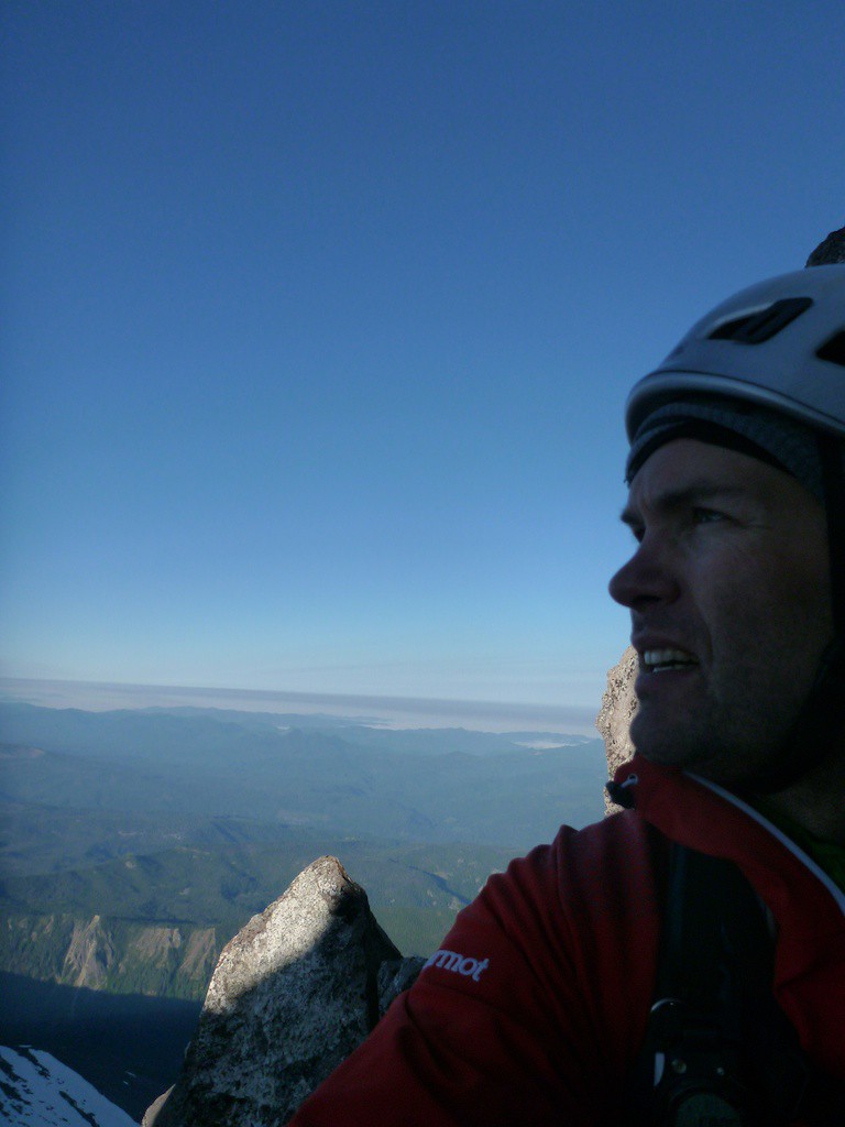
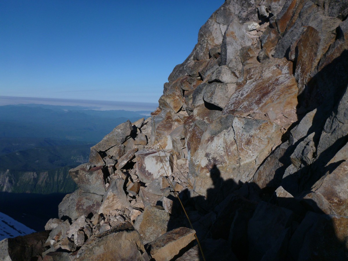
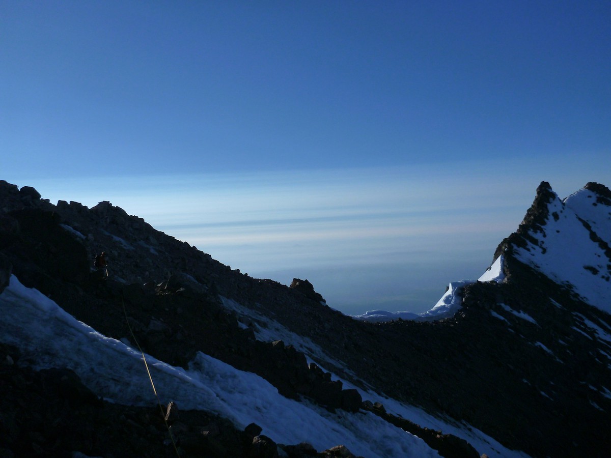
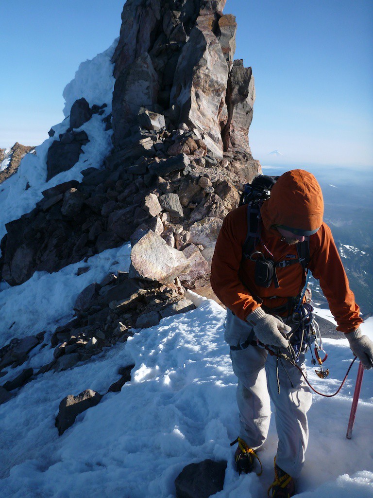
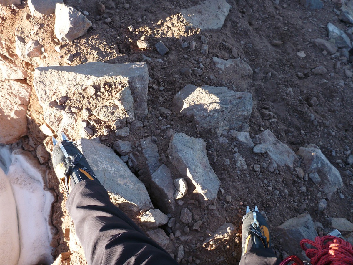
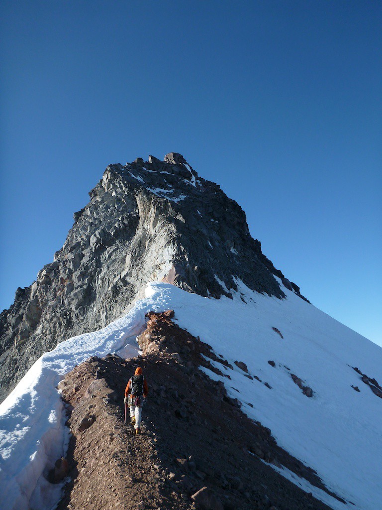
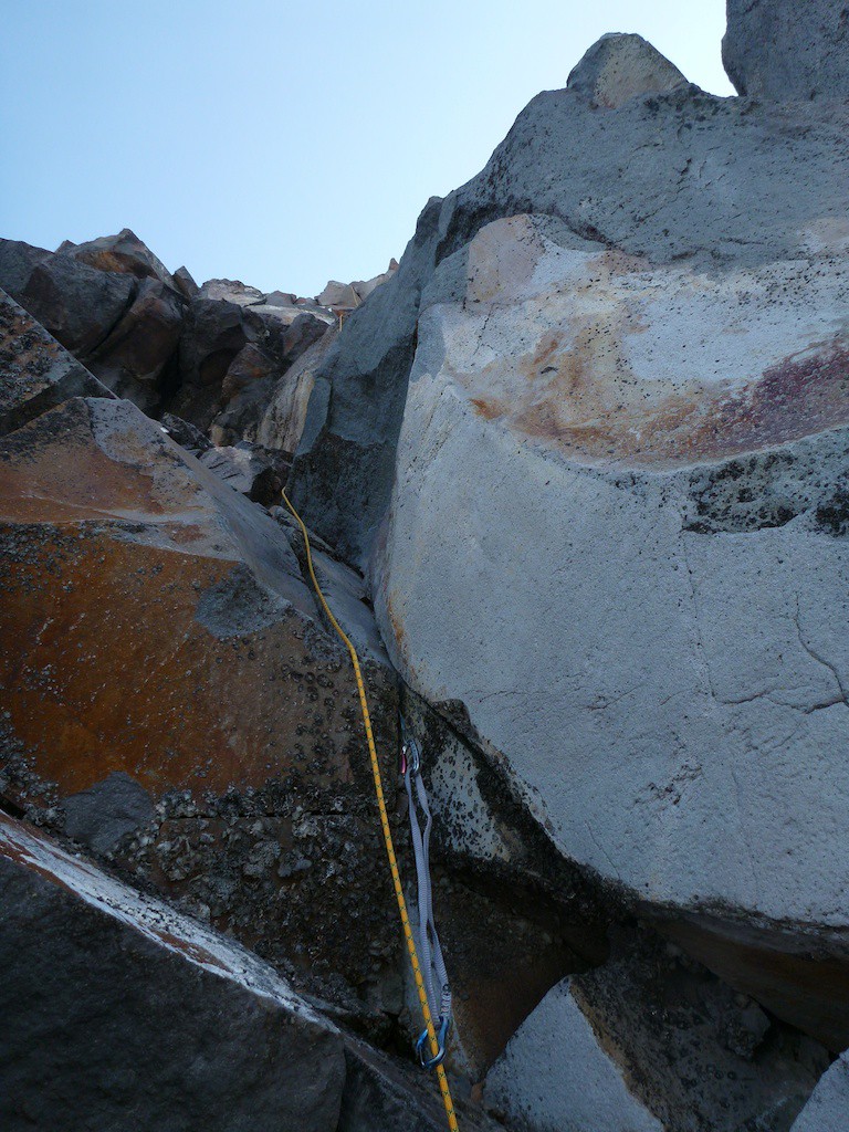
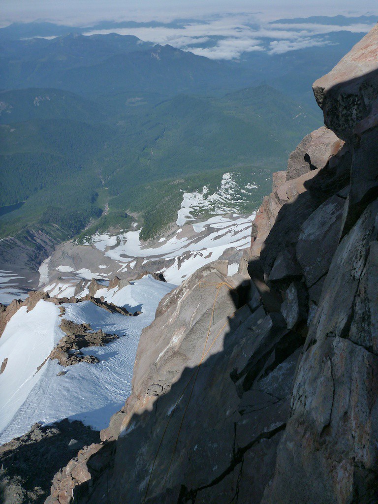
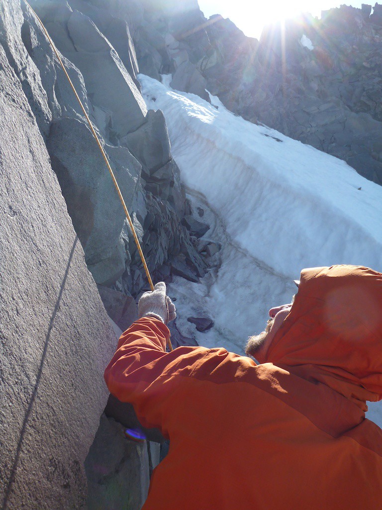
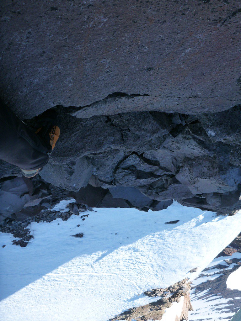
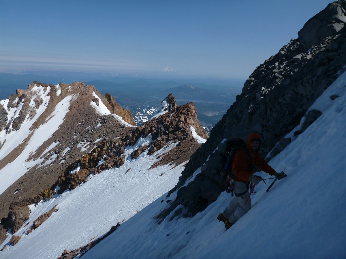
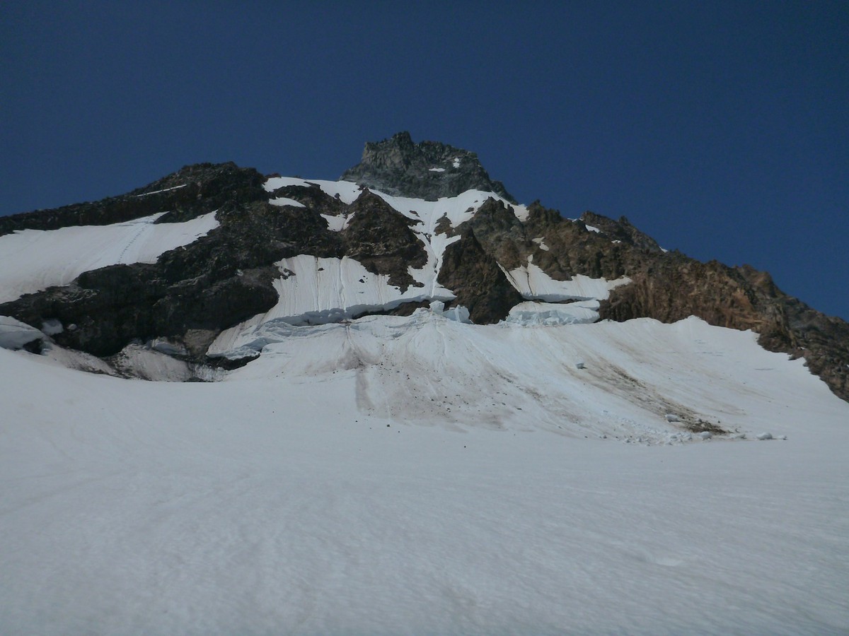
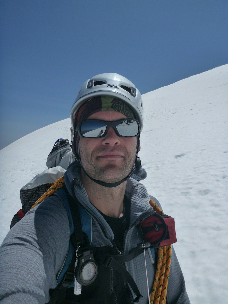
After the glacier we hit the Knife Edge Ridge, which was a low fifth class rock climb. Terry let me lead this and we simul-climbed until we got to the next snowfields. It was exciting climbing in mountaineering boots at 10,000 feet with decent exposure. Luckily no one saw me use the hands and knees technique to get across the two foot wide sections.

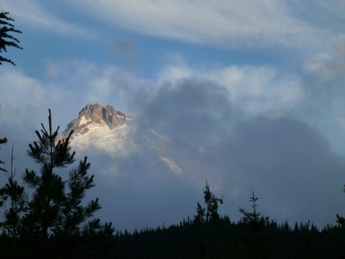
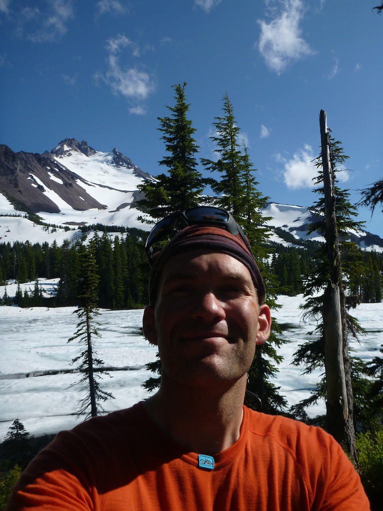
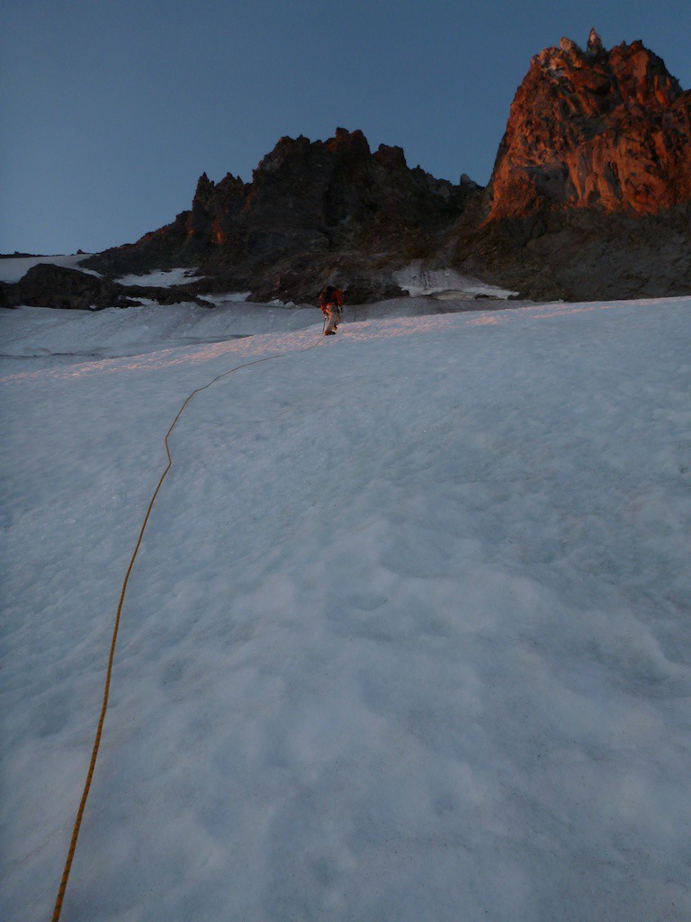
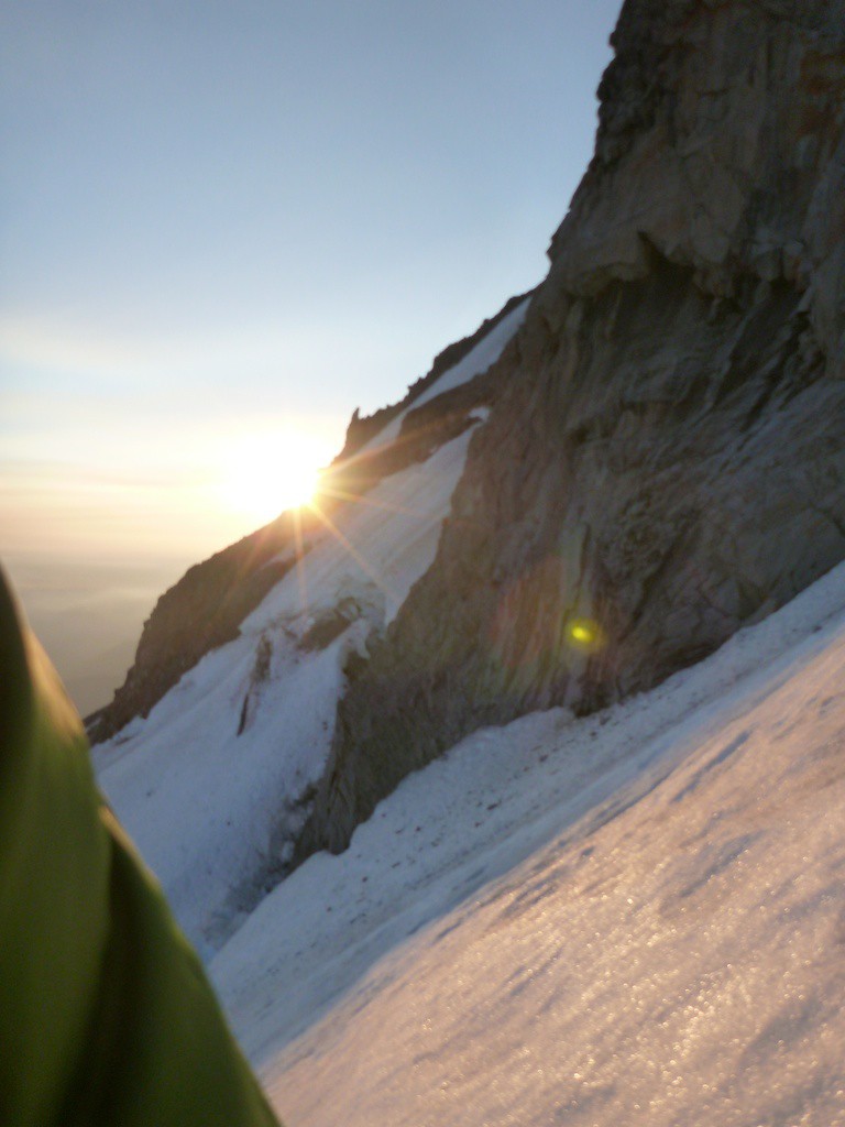
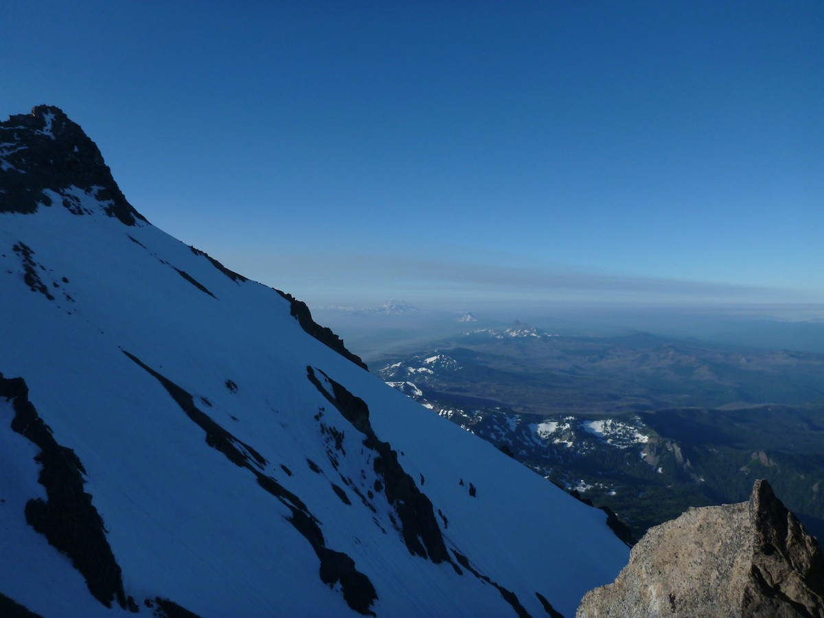
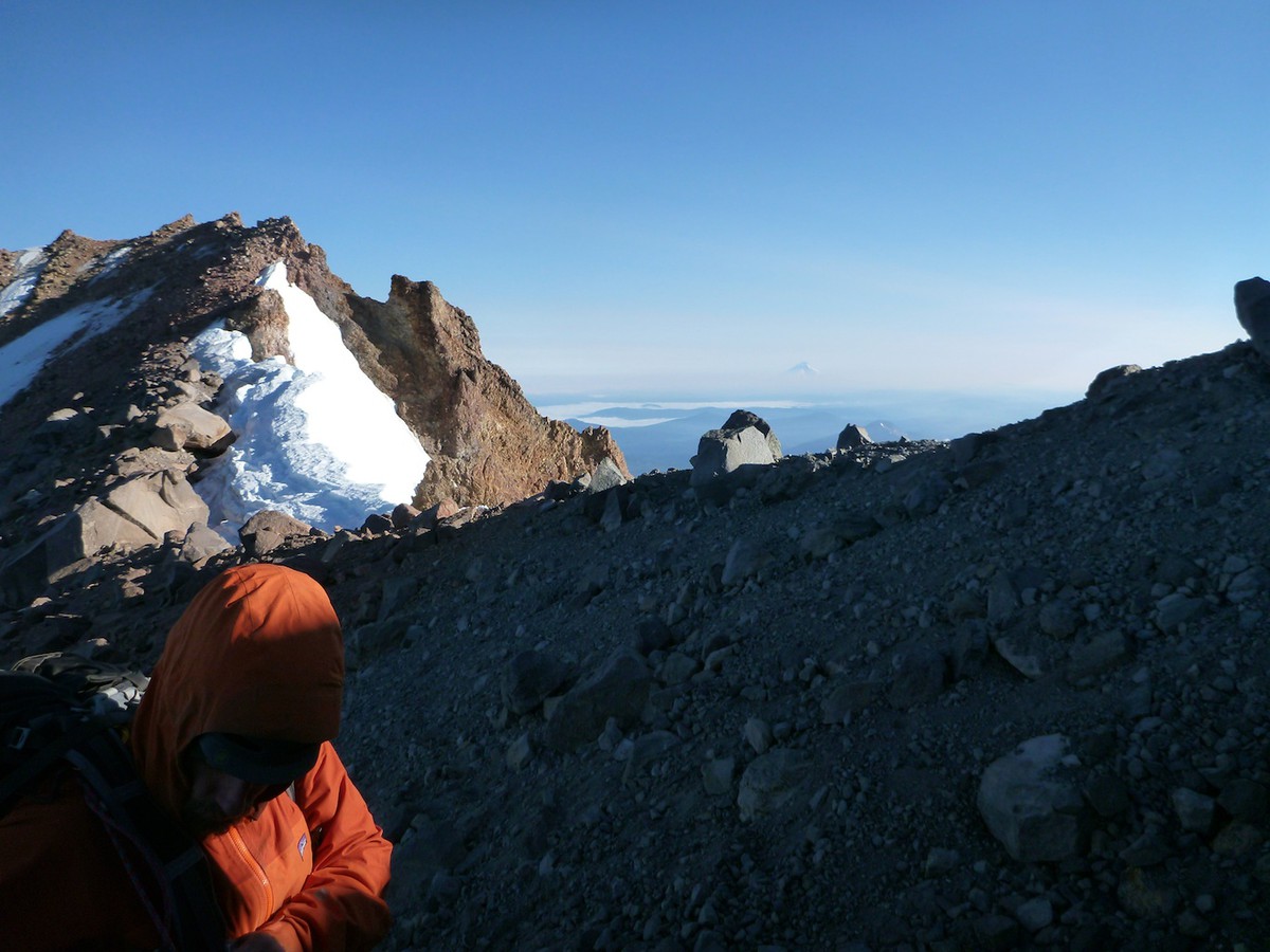
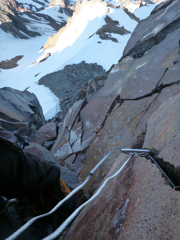
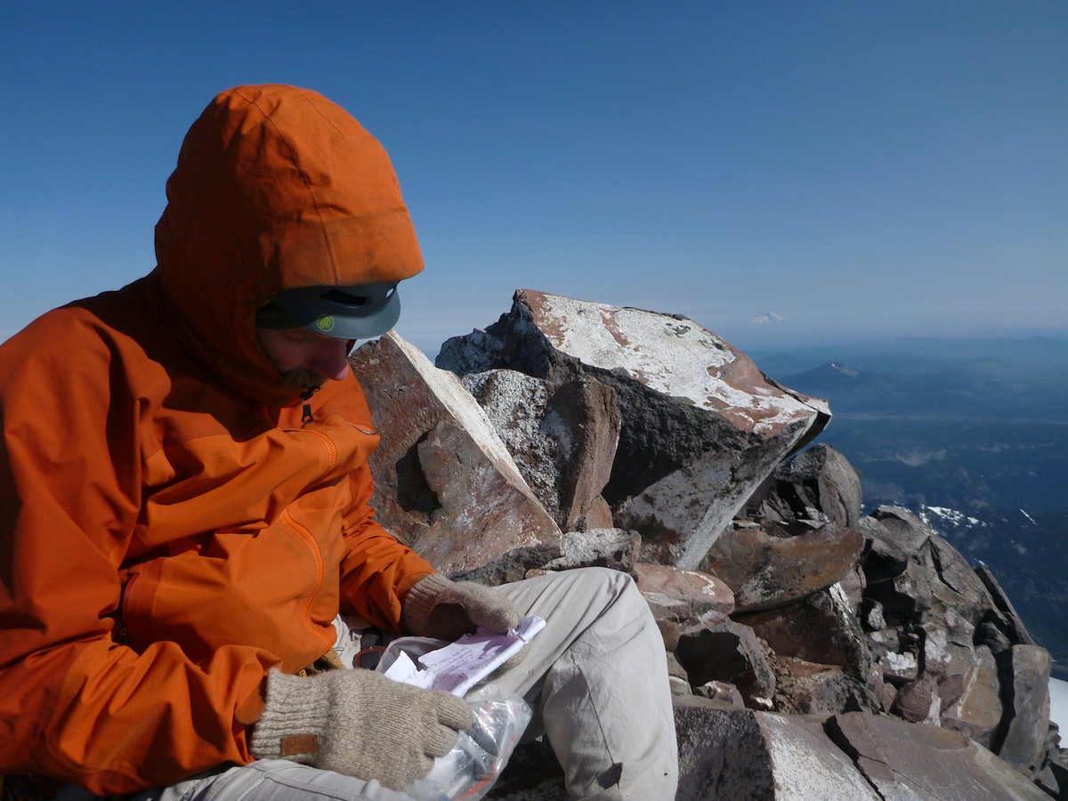
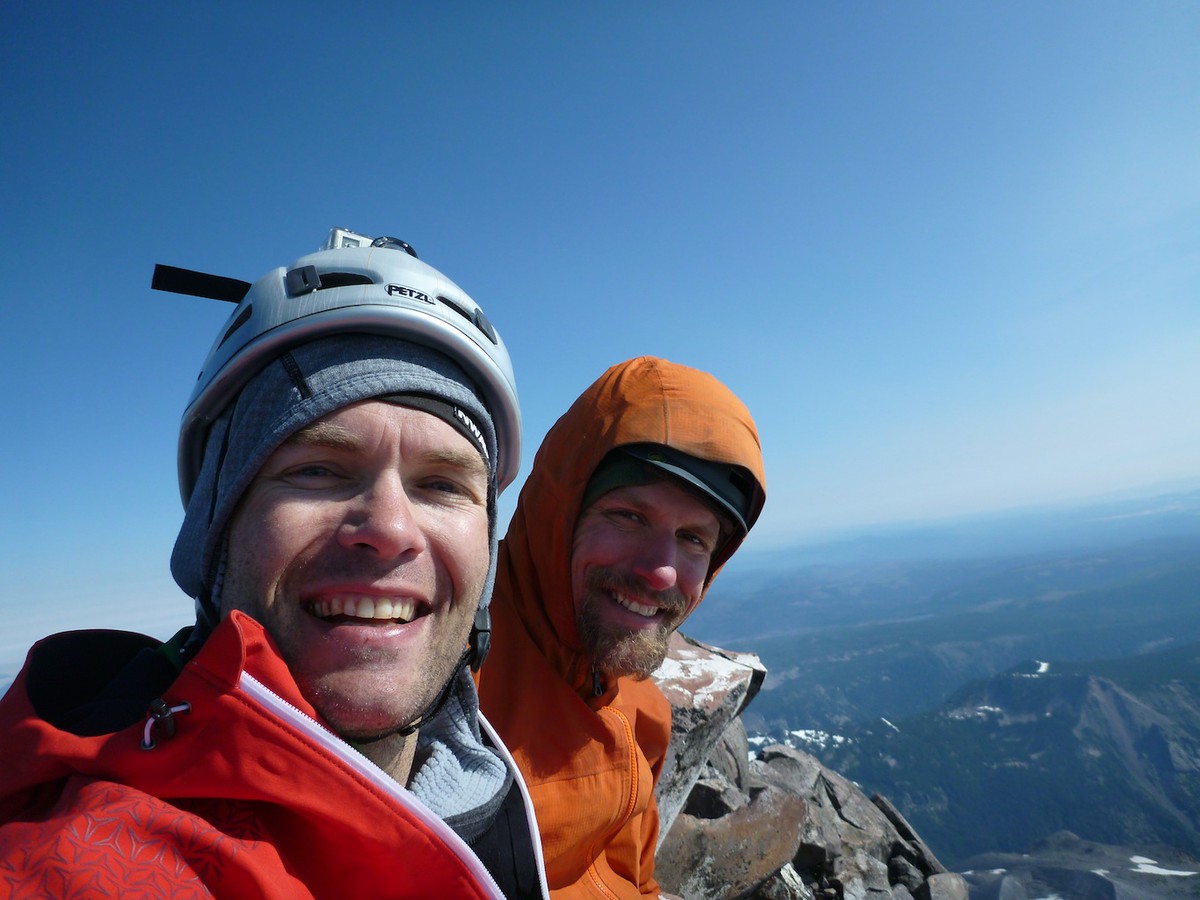
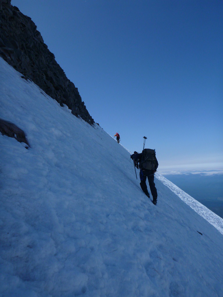
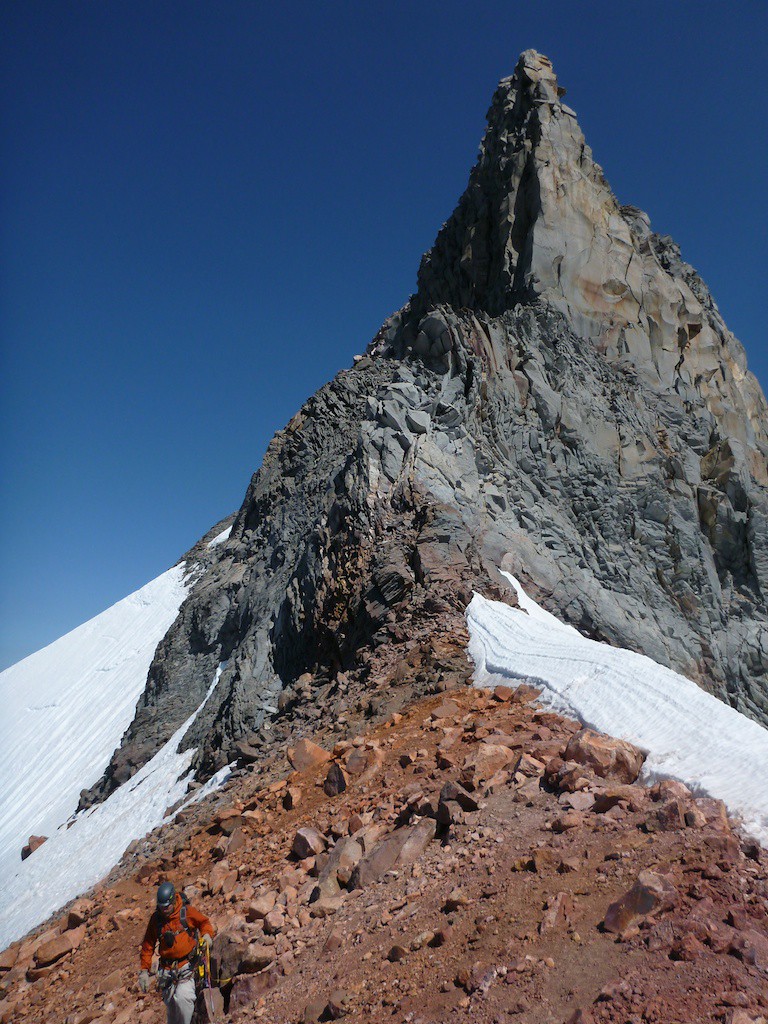
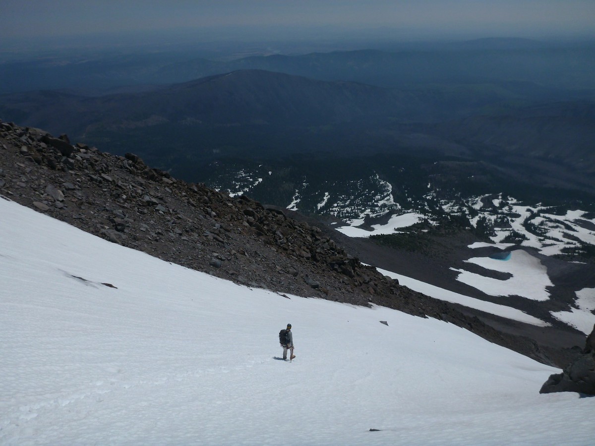
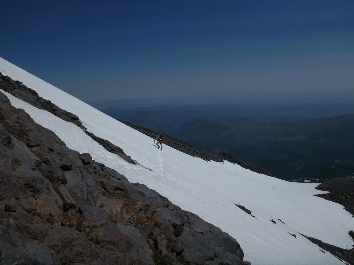
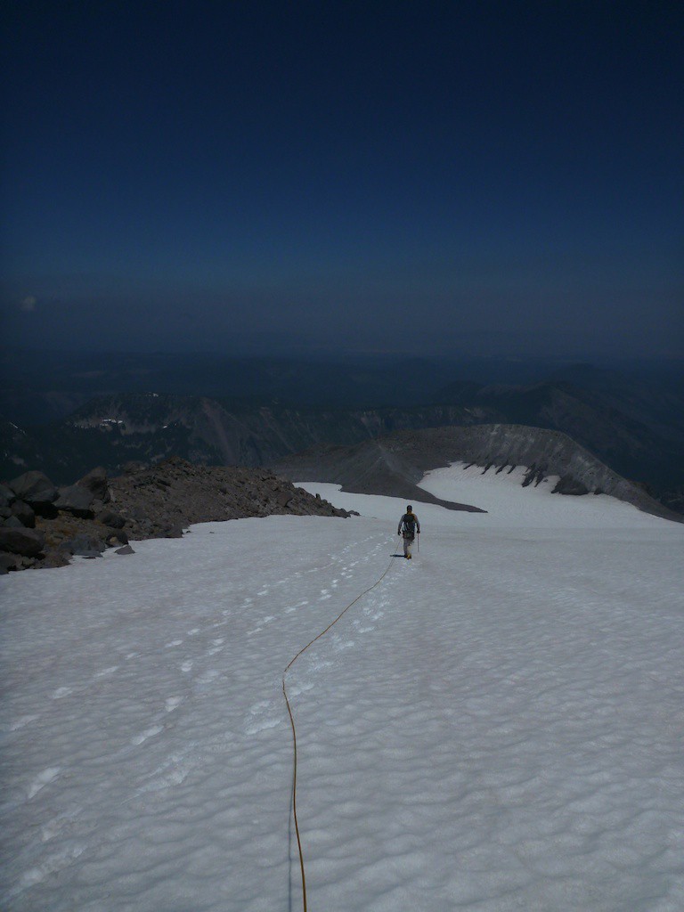
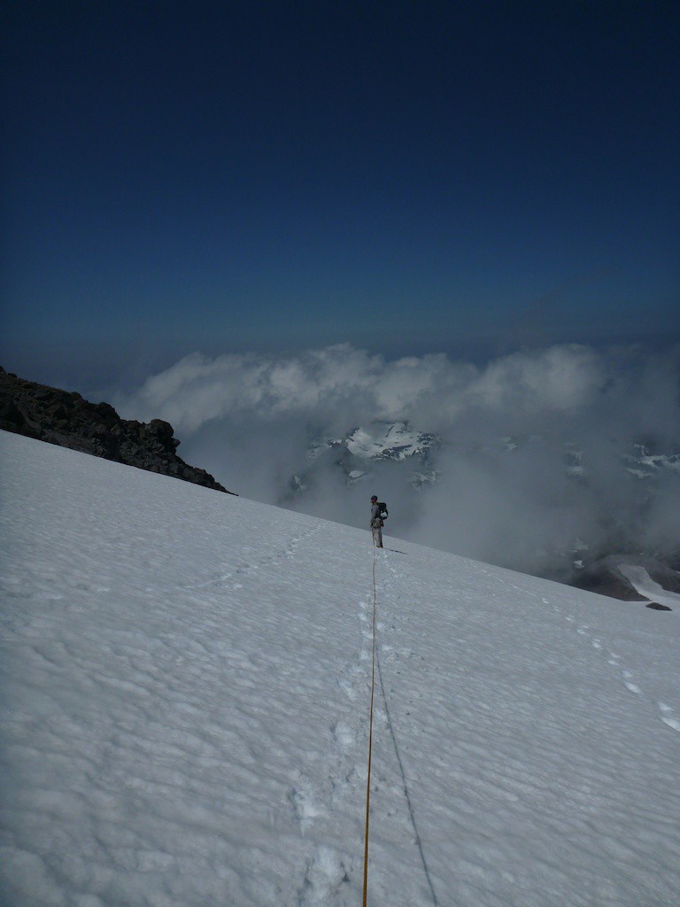
We hustled over to the pinnacle to finish off the climb properly. This was more fifth class climbing, which the book says is 5.1 and really felt like 5.8, with suprisingly good rock and stances. Terry signed us into the register and we shared a german chocolate candy while gazing at the other mountains around us. We rapped down to our packs and heading back to the North. We ran into a friend of Terry's, who told us the Red Saddle was a safer bet for the descent. Though the fields below us to the East looked OK, we took him at his word and headed back South to the saddle to do some downclimbing.

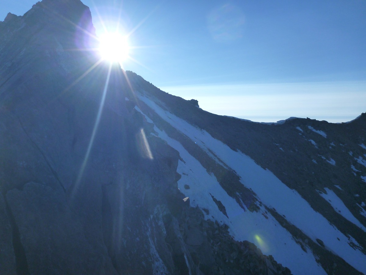
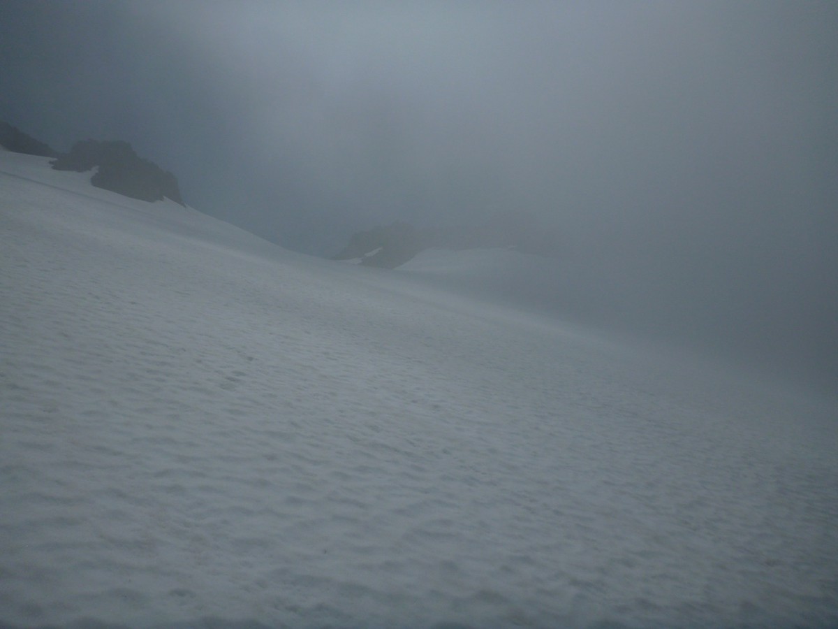
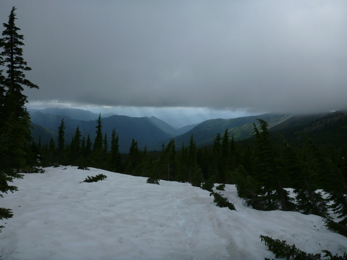
We lucked out to have gotten the beta as the route we intended on rapping and downclimbing was horrendous. We probably would've ended up rapping off of pickets and leaving some gear and the rope behind. But we went the smart route and trudged across a few glaciers over to our descent chute back to camp. We got awesome clouds swooping by as we got closer to camp.
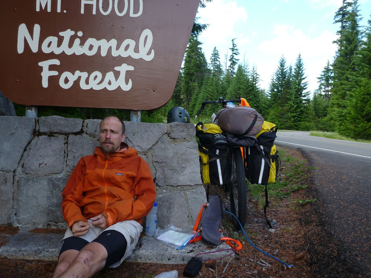
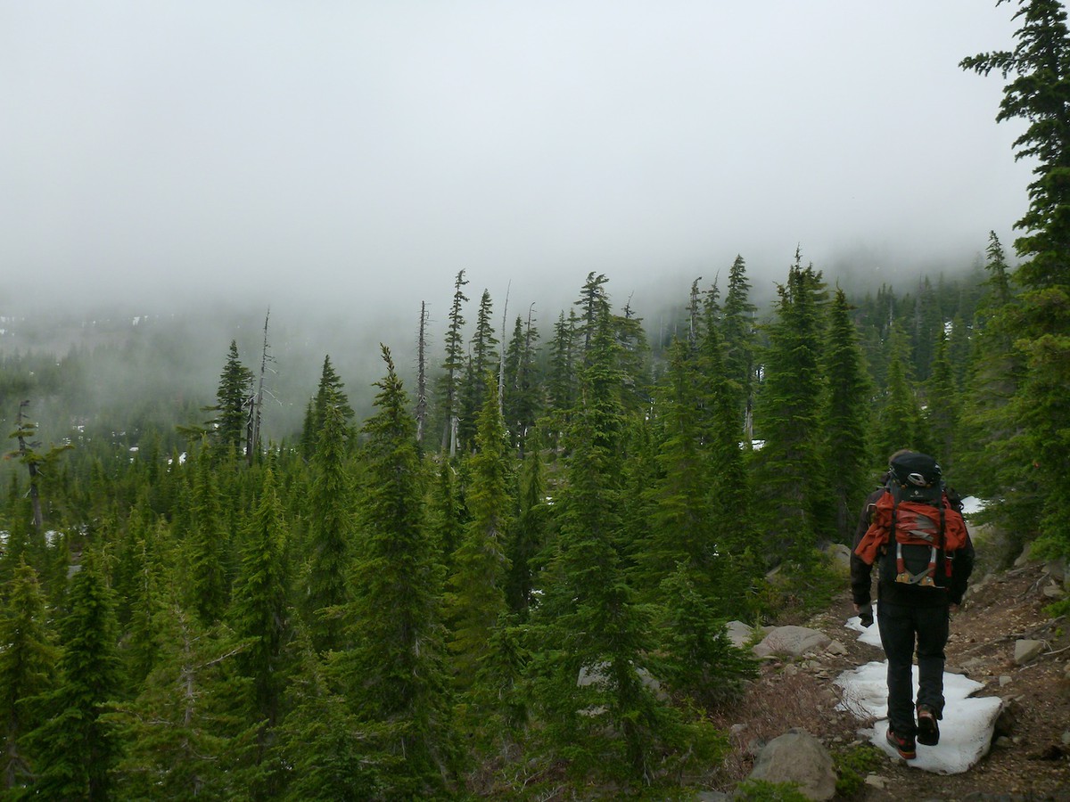
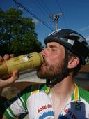
We got back to camp at 4pm, 14 hours after leaving the toasty warm tents and sleeping bags for the snow. Kyle was whooping as we came into camp, providing us with some whiskey to help offset dehydration. As the clouds were coming in and the temperature was dropping, we quickly ate some food, packed up and headed down to the bikes at the trailhead.
Ride Home
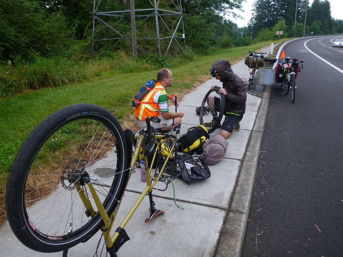
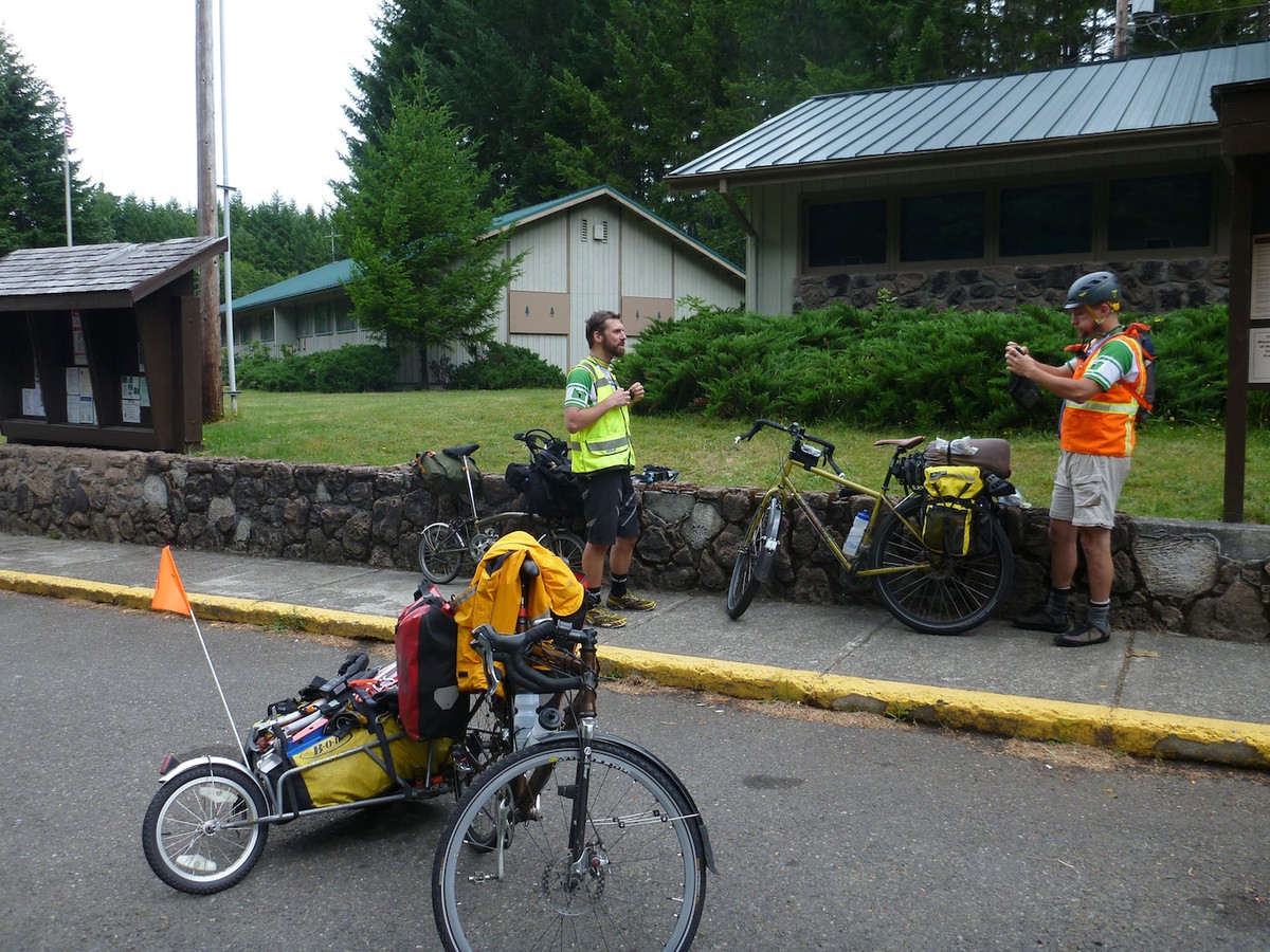
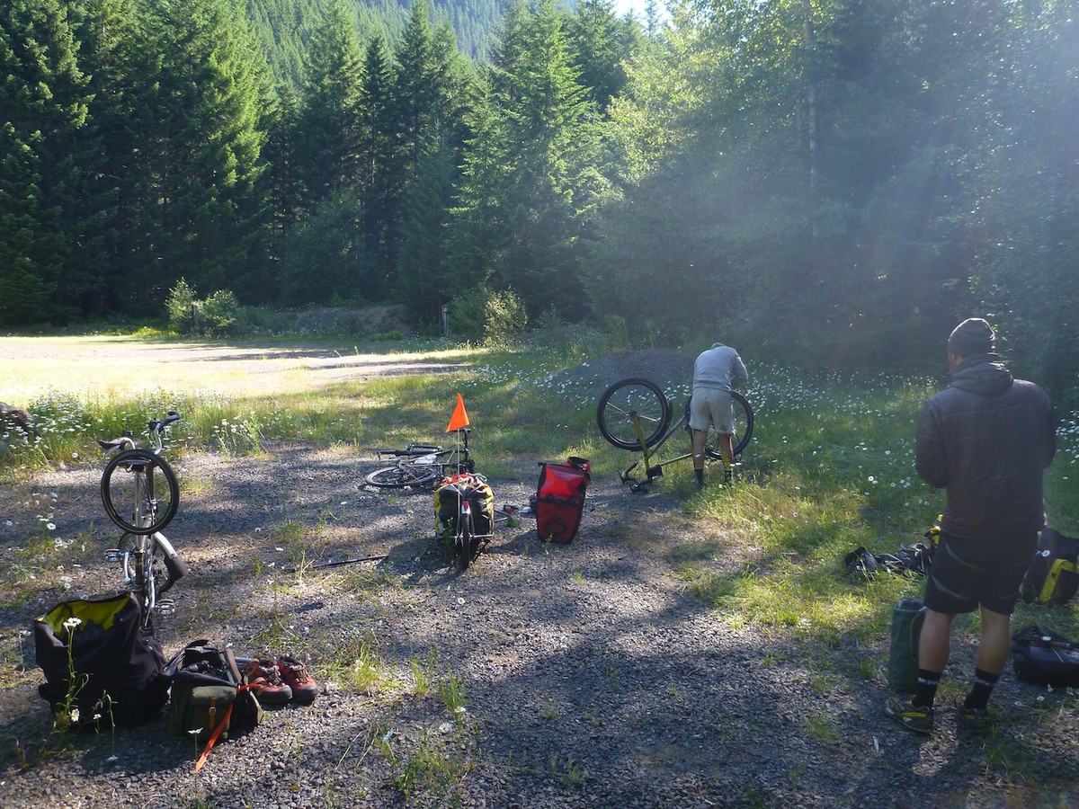
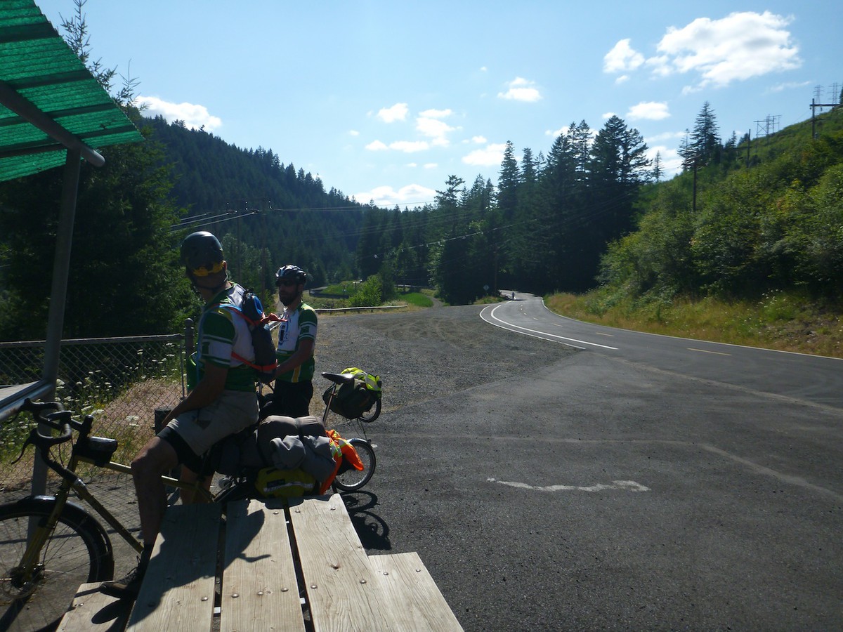
After a good nights sleep at the trail head we took our time drying out gear, repacking it, fixing bike issues and eating. As there are only so many alpine starts in a person, we left camp around 10 to head for home.
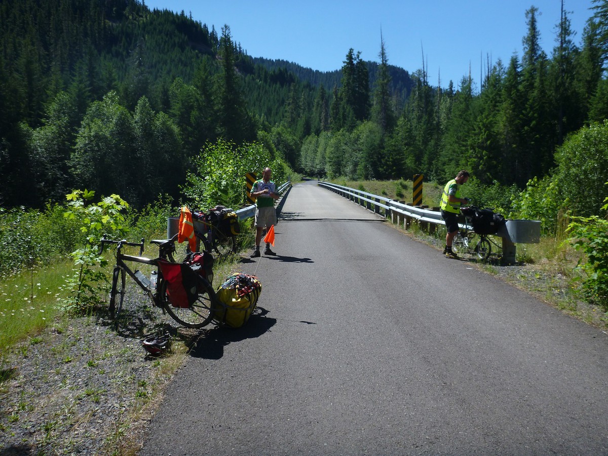
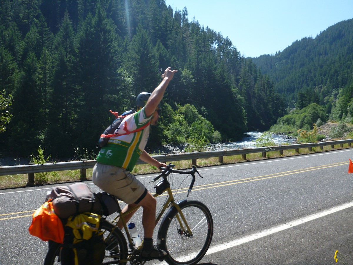
After the initial climb from Hades, the majority of our ride home was slightly downhill, allowing us to average almost 14 miles and hour. At the ranger station a local was intrigued by Kyle's funky bike and started chatting with im, in the process telling us of a road that went around our last major hill, saving us a thousand feet of climbing. We definetely owe him a beer!
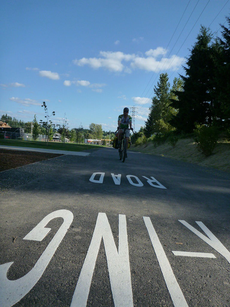
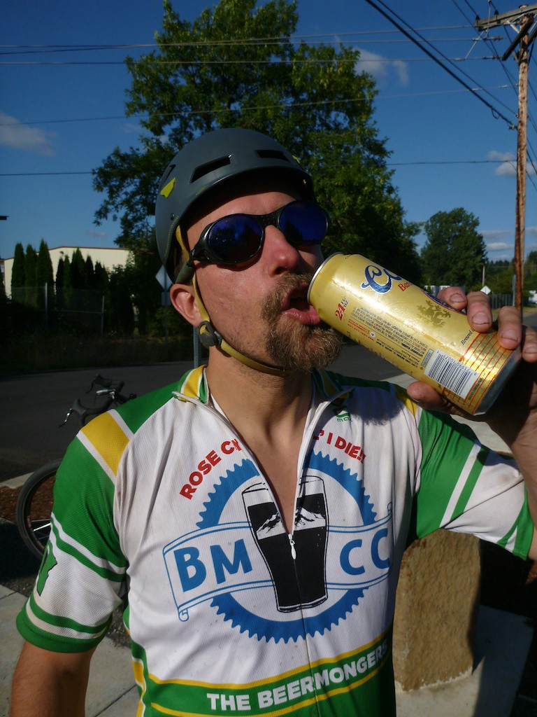
Once we hit the Springwater Corridor, Terry bought a can of beer for us to share, which anesthetized some of our pains.

Profile

Profile of bike and climb
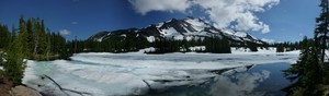
Panoramic Photos